Greetings and welcome to Dinosaur Bear!
It’s time for another adventure post!
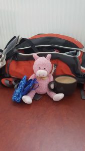
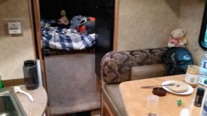
Yes, when you see the Boys a’packin then it normally means that something substantial is about to happen. This time is no exception as shortly after exams ended we all headed off on what might be described as the quintessential Iceland road trip: the “Ring Road.” The Ring Road is, as the name would suggest, a route which circles around the majority of Iceland (with the exclusions of the Westfjords and Snæfellsnes Peninsula – though some people include those as well). Needless to say, this isn’t something you want to rush through, and while you can technically drive the whole thing in 2 (very long) days, you’d have no time to enjoy any of it. Depending on how much you want to do on the Ring Road I’ve seen anywhere from 5 to 18 days suggested. While we opted for the lower end of 6 days that still meant that this was going to be the longest of all our Iceland adventures. As such, we decided to use a camper van rather than rely on hotels – a choice which we highly recommend even if you don’t have our prior experience with camper-based road trips.
So, here’s the deal. If you’ve followed this blog for any amount of time you know that I tend to write, a lot. This tends to get pretty good feedback when I talk about history, schedules, recommendations, etc. – but the fact of that matter is that it’s incredibly time-consuming to write such a post. Plus, I am fairly busy right now on top of that with more future-oriented endeavors. So, in light of those considerations, I’m going to play one of my funky little blogging games wherein I set “rules” for myself on this post. While this does, of course, feed into my writing laziness, it also provides a challenge for me because it forces me to work on my concision while still sharing what I want to share. Thus, after a brief secondary intro section below I’m going to get into the road trip itself. Once in that portion I am going to regulate myself to one sentence per photo. If you see more than one sentence, then that will just be our little secret! 😛 We’ll see how well I do given my propensity/ability to turn something as simple as changing a light bulb into a 5,000 word magnum opus. While this rule-set is a bit less exciting than say… my haiku rules, it’s still something to mix things up a bit and the photos are exciting in and of themselves anyway. So let’s do the intro and get started!
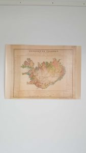
For one, I feel like it’s always good to visualize what a road trip looks like. So here’s a rather rudimentary map of our version of the “Ring Road.”
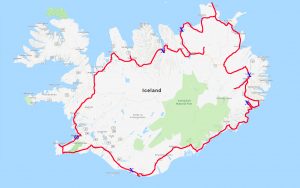
Now when I say “our version” I mean that literally, as the “normal” Ring Road (that is, Route 1, “Þjóðvegur 1″ or “Hringvegur” in Icelandic) does not look like the above route. We took a lot of liberty with our route and went to some out-of-the-way places. Thus, while Route 1 is about 1,332km (828 miles) long, our road trip clocked in at 2018km (1254 miles). In the above photo we started in Reykjavík (the big “O”) and worked clockwise around the island. Each “X” is where we stopped and camped for a night.
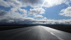
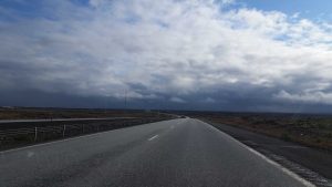
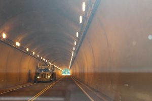
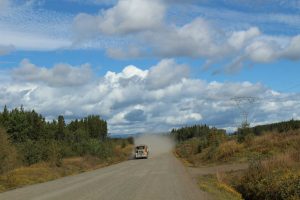
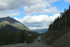
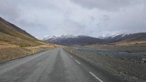
Another thing about this road trip, and really any road trip in Iceland is that you are going to experience a lot of variable conditions (unless you stick solely to Route 1, but probably even then). These conditions are almost always scenic, but the roads range from really good:
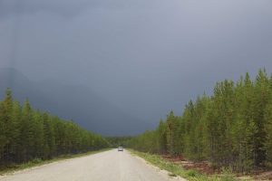
To slightly less good but still there:
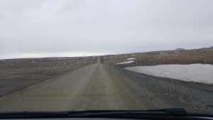
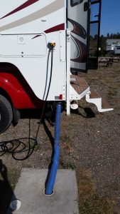
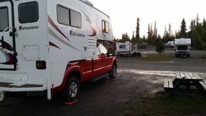
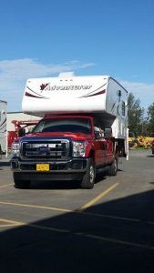
To, as will be shown later, not really roads at all despite technically being called roads. Thus, if you plan to get off the beaten path too much a 4×4 is generally a good investment. We got lucky and ended up not paying anything extra for our 4×4 – I think due to a fleet availability thing with our camper company or something. We decided to name our van Benjamín, which, despite what you probably think, is not pronounced “Ben-juh-men,” but instead, “Bin-yuh-men” in the Icelandic style. Aside from just liking Benjamín as a name, we also kept the “B” theme from Beckett.
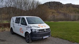
We ended up really liking our camper van and would definitely recommend Camp Easy if you are considering a similar Iceland road trip yourself.
Anyways, that’s our basic route, and there’s our trusty van/home Benjamín above, so let’s get started with the trip itself. As a reminder for the next section, the picture’s notes appear below the image and I will link to outside articles where applicable/possible in case you want to learn more! Oh, and one-sentence rules are now engaged! 🙂
——
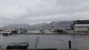
It was raining as we headed north to our first stop in the town of Borgarnes.
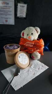
We stopped there for lunch as well as some Skyr icecream (delicious!) from the Ljómalind local market.
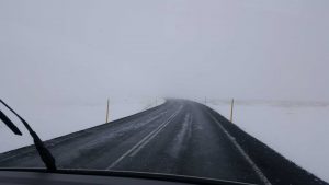
Once we were back on the road the rain transitioned into snow – and this was on May 11th mind you.
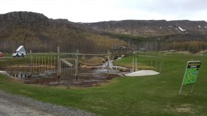
Our first campsite was Hamrar, which was located just outside of Akureyri and near the Kjarnaskógur forest (it had an obstacle course!).
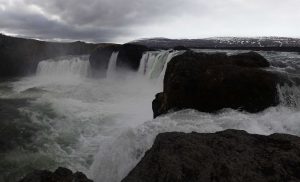
The next morning we headed to our first waterfall of the trip, Goðafoss (“waterfall of the Gods”).
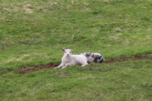
For lunch that day we ate at the delicious Vogafjós Cowshed Cafe, which is literally a cow shed where you can see cows, sheep, and lambs while you eat!

After lunch we hiked up to the top of the massive Hverfjall Crater, if you look closely on the right hand side of the photo you can see some people as a size reference.
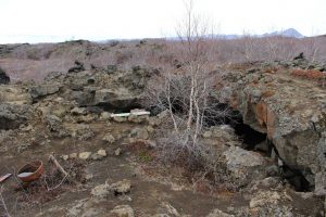
Later that day we explored the Dimmuborgir lava formations, where we found the Yule Lad cave!
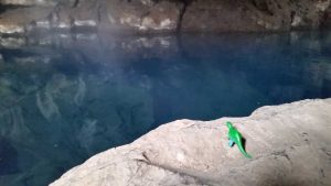
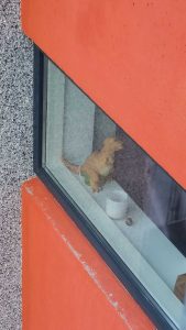
We also took time to visit the Grjótagjá lava cave, which used to be used for swimming but is now too hot (but not for dinosaurs!).
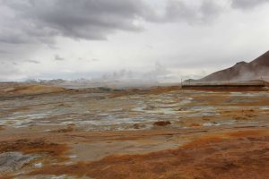
After that we headed into the Námafjall Hverir geothermal area, which I found reminiscent of some parts of Yellowstone.
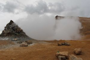
You could get very close to the fumaroles and the whole area was so thick with sulfur that sometimes it was even hard to breathe!
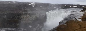
Shortly after that the rain settled in for the day, but we didn’t let that stop us from taking in some scenic views of the Dettifoss waterfall.
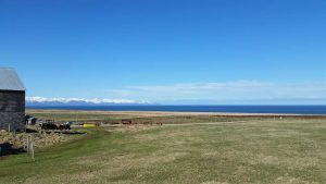
The next day we started off by visiting the family farm of one of SB’s coworkers, and boy did they have a heck of a view!
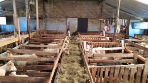
Even more exciting is that we got to visit all of their sheep while they (the sheep) were eating breakfast.
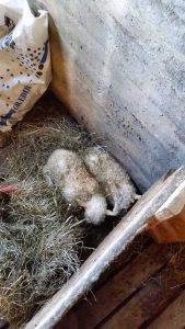
Even more exciting still was that it was lamb season, so there were OH SO MANY babies, including these fellows who were just 3 hours old when we met them.

After some time on the farm we headed into Ásbyrgi Canyon (said to have been formed by the hoof of Odin‘s eight-legged horse, Sleipnir) for some hiking.
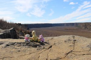
It was an absolutely wonderful day for hiking, and even the wind on top of the canyon wasn’t too bad!
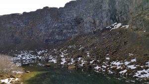
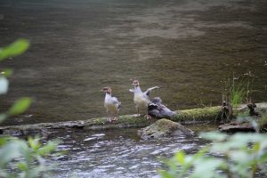
Deep within the canyon lies the Botnstjörn pond, a very peaceful and pristine area known for its ducks!
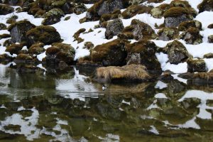
When we arrived there was just one ducky buddy, be he was being very photogenic for us.
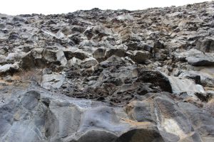
From Botnstjörn you can climb right up to the canyon walls (passing a not-so-subtle “warning: falling rocks are probably going to kill you” sign along the way), and this is what they like from the base looking upward.
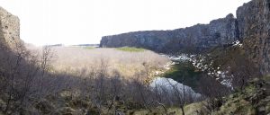
And here’s looking out into the “horseshoe” canyon from roughly the same spot in the canyon-wall photo above.
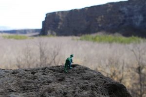
It all made a certain little dinosaur feel very powerful and prehistoric.
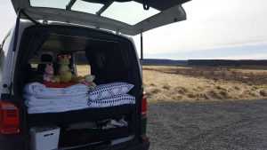
But not too powerful or prehistoric for lunch, which we all enjoyed in the back of Benjamín near the canyon visitor’s center.
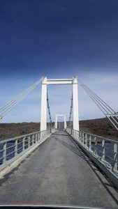
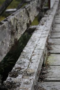
After lunch we continued even further north, first crossing one Iceland’s numerous (sometimes infamous) one-lane bridges.
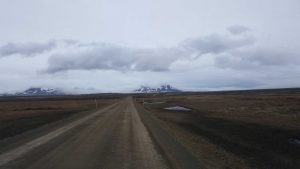
Things got a bit more “rustic” in this part of the country – which isn’t surprising given that our next destination was the furthest northern point of mainland Iceland.
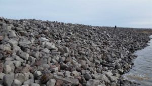
More specifically, we were headed for the Hraunhafnartangi lighthouse, which is uh, quite remote and difficult to get to (SB was super thrilled about the above portion of the hike out to it 😛 ).
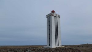
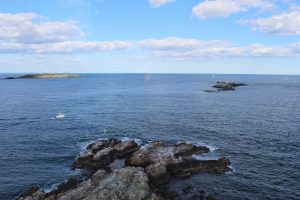
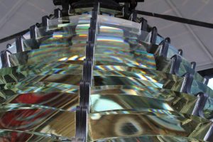
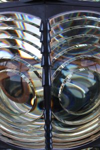
The lighthouse itself, in addition to being very remote, is apparently famous within lighthouse circles for its architectural style as well (it’s also a mere 800 meters south of the Arctic Circle).
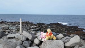
The Boys (which is mostly to say.. Tristen) wasted no time finding a stray piece of wood and claiming the northern point for their kingdom.
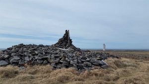
Hraunhafnartangi is also known for being the scene of the final epic battle in the Fóstbræðrasaga (“Saga of Sworn-Brothers”), where the Viking Age warrior Þorgeir fell in battle after defeating no less than 14 of his enemies – a spot marked by the Þorgeirsdys (“burial mound of Þorgeir”) to this very day.
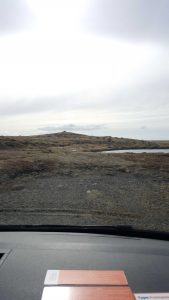
Earlier I mentioned roads that were technically roads but weren’t really roads in the common usage of the word – well, here’s the “road” that takes you out toward Hraunhafnartangi.
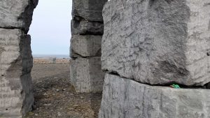
On our way back south we stopped by The Arctic Henge, where Pigsten helped with some construction.
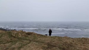
As we continued southward the rain picked up, but that made for some picturesque (if somewhat melancholy) coastlines which we had all to ourselves.
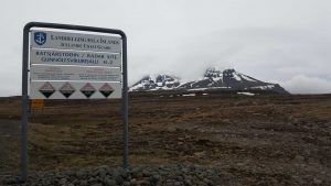
We also passed by the Langanes Air Station (ADC/NATO ID: H-2/H-2A), which is hidden in the clouds on top of the mountain in the above photo and was an instrumental GUIK gap monitoring station during the Cold War (I can neither confirm nor deny that we got closer than this. 😉 ).
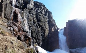
The next morning, after a night in Egilsstaðir (where Tristen befriended the ancient Lagarfljót Worm in nearby lake Lagarfljót) we hiked up to Fardagafoss waterfall which was still snow covered and even the climbing chains were mostly covered by snow.
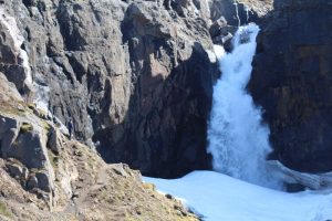
This is a “pulled back” shot taken by SB which shows where Pigsten and I climbed over to (requiring some precarious snow hiking and chain clinging) – “manries.”
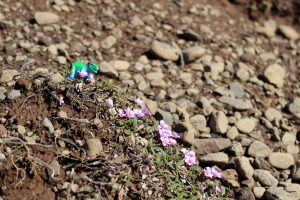
Up near the waterfall there were a bunch of little flowers which were really pretty when contrasted against the otherwise mostly rocky and muddy landscape.
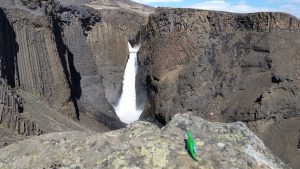
Fardagafoss was only the first of many waterfalls that day though, as we later hiked up on a “dual waterfall” path which first included Litlanesfoss (above).
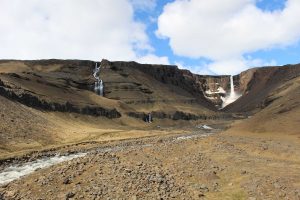
And then even further up the path – and in its own valley – Hengifoss.
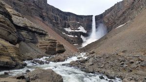
Hengifoss also had it’s own collection of snow, but the hardest part of getting to it was a pretty substantial (on foot) river crossing rather than the snow itself.
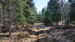
After the “rocky” hikes earlier in the day we did a bonafide forest hike in the Hallormsstaðaskógur National Forest – complete with trees (and that fresh pine scent!) donated by the United States (from Alaska!) and Russia – as well as our own private waterfall, Ljósárfoss.
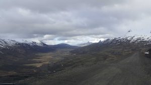
Once we’d left the forest behind we headed up into the mountains and through a pass that had some crazy hairpin turns on a few occasions.
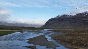
That evening we camped at Eyjolfsstaðir, which was by far the most remote of all our campsites and which was inhabited by just us and 6 other people (and 100s of sheep).
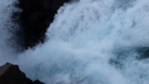
There was a “small” waterfall nearby that we were able to get right on top of, and I do mean right on top of (I’ll pass on a photo of me next to it for Meem’s sake, but this one should give you an idea of how close I was 🙂 ).
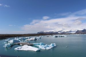
The next day we continued our trip and visited the Jökulsárlón glacier lagoon, which is fed by Breiðamerkurjökull glacier, itself a portion of the titanic Vatnajökull glacier (the largest glacier in both Iceland and Europe).
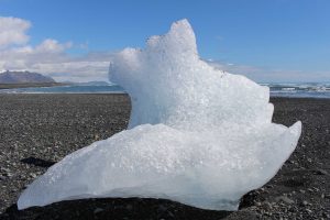
The lagoon also creates the “Diamond Beach” which is technically part of the Breiðamerkursandur glacial outwash plain, and it gets its nickname from all the icebergs that get washed up on the beach there.
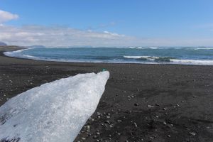
These icebergs range in size from about the size of a basketball all the way up to the side of a full-sized truck, but all make good slip-and-slides when you are Pigsten.
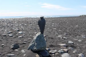
Pigsten was also a fan of this exceptionally well balanced cairn just up the beach from the “diamonds.”

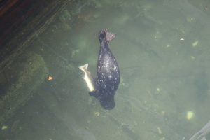
The area is also known for being a good seal-watching spot (to Valentino’s great pleasure) and SB and I were fortunate enough to spot one, I even caught its dive on camera without realizing it!
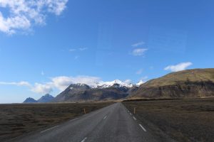
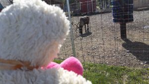
From there we continued along the south coast, an area known for very bad sand/ash storms (none for us, thankfully), mountains, and if you are lucky, wildlife – we saw reindeer!
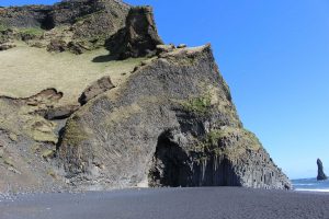
The next stop was the Reynisdrangar “black sand” beach, complete with its own cave, Hálsanefshellir (the area is also known for its dangerous and fast-moving tides).
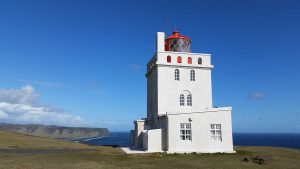
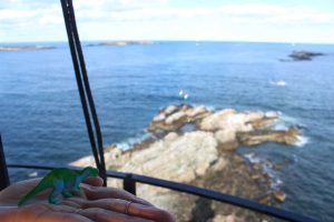
From there we went up a very rocky road to the top of the Dyrhólaey peninsula/promontory to see the lighthouse there, and if you look closely you can see Reynisdrangar in the distance.
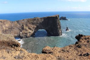
The views up there were quite broad and incredible, and there we lots of coastal features such as the above sea-arch to see as well.
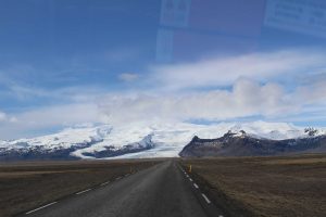
As we continued onward the massive ice caps and glaciers (such as Mýrdalsjökull) were pretty much constantly on the horizon.
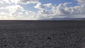
Eventually we found ourselves at Sólheimasandur, which is a vast area of sand and gravel which is actually pretty surreal once you get out into it.
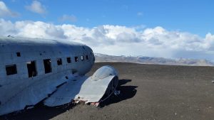
Sólheimasandur is also home to the wreckage of a US Navy DC-3 plane (Douglas R4D-8 17171), which has rested at this location since its crash on November 21, 1973 (oddly enough the exact conditions of this crash are still a bit of a mystery, and even the date 11/21/73 vs 11/24/73 is still disputed).
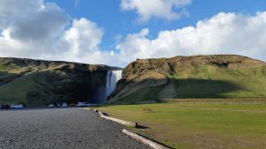
After leaving Sólheimasandur behind it was a relatively short drive to our next campsite – a spot located just below Iceland’s famous Skógafoss waterfall.
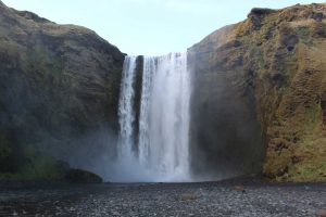
We were really fortunate to have the waterfall to ourselves for a bit, and Pigsten and I even walked right up to the waterfall in an attempt to find the legendary treasure (we did not succeed, but we got very wet and had fun trying).
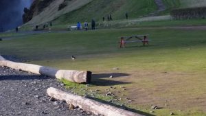
As we got settled in for the evening we got a magical visitor, Huebert the Huebert (Huebert is a bird of an unknown variety [to me] and thus Huebert the friendly Skógafoss bird became Huebert the Huebert).
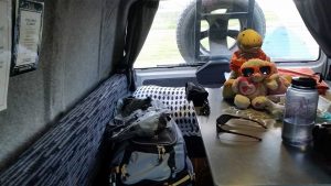
We really, really enjoyed being able to relax in Benjamín and listen to the waterfall just a short walk away from us – talk about camping!
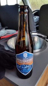
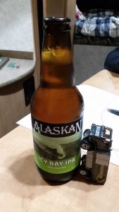
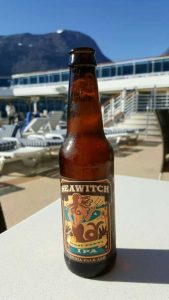
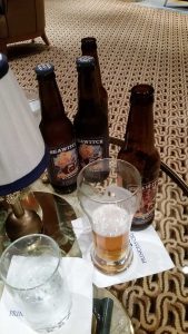
That we had a constant supply of Icelandic beers to assist with said enjoyment also helped. 🙂
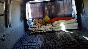
Before too long it was time to convert Benjamín over to sleepy-time mode, though as you can see by the sun, Iceland doesn’t really “sleep” this time of year.
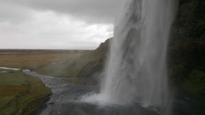
The next day we continued our hunt for waterfalls by visiting the beautiful Seljalandsfoss waterfall – which you can go behind without getting (totally) soaked and/or drowned.
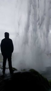
While any treasure behind Seljalandsfoss has long since been claimed, it didn’t take away from the awesomeness of the experience!
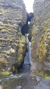
Within walking distance of Seljalandsfoss, and hidden back in a grotto, is the lesser known and much less visited Gljúfrabúi waterfall.
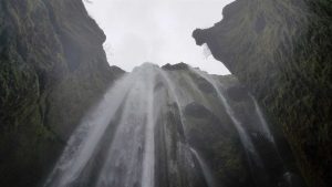
In order to get to Gljúfrabúi (without getting wet) you have to carefully tread upstream on a select series of small rocks, but if you make it (or just have wading boots – much easier) you are rewarded with an almost spiritual experience inside the grotto – something made all the more magical by the fact that for a short while I was the only one in there (I think some people gained courage by watching me make the trek through the cave first).
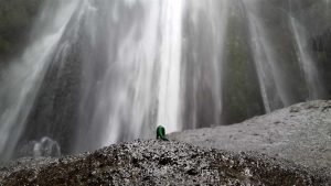
Of course I wasn’t actually alone, as the ever adventurous Pigsten was there with me.
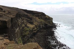
Once we’d left the waterfalls behind we drove into the southwestern portion of Iceland, and after an adventurous romp on another “non-road, road” (most people have to hike it, but not Benjamín!) we made it to the sea cliffs of Krysuvikurbjarg.
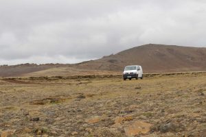
There we enjoyed our final lunch with Benjamín, as well as some good ole’ isolation and a bunch of sea birds – especially a seagull named Frank who became fast friends with us and even photo-bombed me.
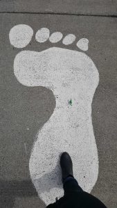
From there we made our way up and over another mountain as we tracked the famous giantess of Reykjanesbær.
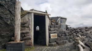
While we had tried to find the giantess’s cave once before, this time we succeeded!
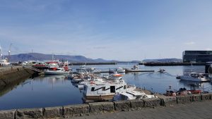
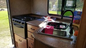
After that we cleaned up the inside of Benjamín, had a couple of cups of our instant coffee (courtesy of Benjamín’s camping stove) while enjoying the Reykjanesbær habor, and then headed back up to Reykjavík to return Benjamín to his home. 🙂
——
That, in turn, brought us to the end of our Ring Road adventure! While I’ve truncated it a good bit for this post, I think I was still able to convey the large amount of ground (both literally and figuratively) that we were able to cover. For both SB and I the Ring Road marks the end of our “major” Iceland adventures – as we will have now pretty extensively covered just about all of the country except for the interior (alas, time must always march on). That said, we still have a few “smaller” adventures planned closer to/in Reykjavík, and I’ll hopefully cover those at some point here on Dinosaur Bear.
More than anything, I think the completion of the Ring Road was also the beginning of the end for SB and I’s time here in Iceland (which is crazy, as it seems like just yesterday we were moving here), and while we still have a decent amount of time left (and much to do!) the Ring Road was always the “big” trip that we were looking towards. Now that it has come and gone I think we’ve both been feeling a bit of “closure” – which isn’t a bad thing, not at all, but it’s also a sign of (big) changes to come. Still, that’s for another post. To wrap this post up, I hope that you enjoyed following along with us on our “sort of” Ring Road adventure. I say “sort of” because while a lot of what we did was pretty standard for a Ring Road trip, there was a significant amount of it which was definitely on the path less traveled, which, in the words of someone much more poetic than I: “made all the difference.” 🙂
Until next time,
-Taco
