Greetings from Montana,
This post is going to be more of an outdoorsy slide-show than a traditional e-journal, so let’s get started!
This past weekend I walked, and I mean walked. In fact, I walked more this past weekend than I had ever walked in any previous weekend in my life and on Saturday I walked more in a single day than I ever had on any other day in my life. All in all I walked 63.69 miles. Not only that, a lot of this walking wasn’t just ordinary walking, no, the vast majority of it was hiking, inclusive of several thousand feet of elevation gain. There was also a good bit of running thrown in for good measure. Looking back, I actually had no idea just how much walking I was going to be doing.
Friday was a rather ordinary day, I ran, I worked, I went grocery shopping, I talked to SB, the usual. On Friday I logged about 7.83 miles.
Saturday started normally enough.
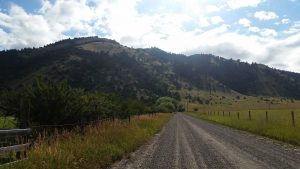
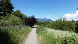
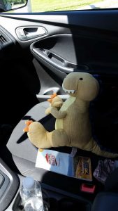
After waking up the sleepy dinosaur I went for my Saturday run, and I got closer to the mountains than I ever had before.
To be honest I’m not sure I’ll make it much closer than that.
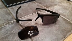
While running my sunglasses just sort of fell apart.
Yep, I was just strolling along and suddenly I was faced with sunglasses-disintegration. They are the second pair of sunglasses to break; the first broke while climbing Sacagawea. I was able to repair them, but they later broke again, and then I repaired them again – it’s the circle of sunglasses life.
The plan for Saturday was to be chill and just do some of the in-town trails. I was planning a big hike on Sunday and didn’t want to go too crazy on Saturday. So Tristen and I headed to Peet’s Hill to get started – we were actually going to be walking a lot of the areas that Meem had walked while she was out visiting us.
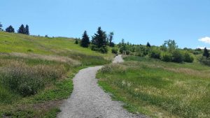
Peet’s Hill is exactly what is sounds like, it’s a hill/ridge in Bozeman with a decent little trail network on it.
It’s popular with walkers, hikers (there is a difference trust me), bikers, and dog-people. Of all the groups dog-people are by far the most annoying. While Peet’s Hill isn’t really arduous, a couple of the paths do have some decent elevation gain.
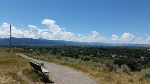
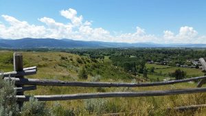
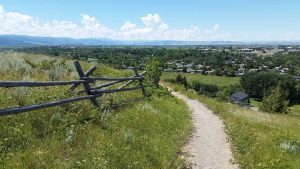
Once up on the ridge you get some nice views of Bozeman and the surrounding mountains.
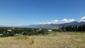
Facing north (my house is that way).
There are some benches along the way and popular opinion is that Peet’s Hill offers the best sunset views in the entire Bozeman city area.
The whole ridge is about 1 mile long.
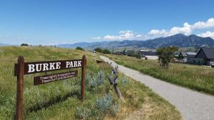
Peet’s Hill is actually housed inside of Burke Park, though to be honest I’ve never heard anyone refer to the area as anything other than Peet’s Hill.
I had originally planned just to walk the hill area and then drive down to another in-town trail called the Sourdough Trail, however, me being me, I decided to walk all the way down there instead, so I set off on a little spur trail on the south side of Peet’s Hill.
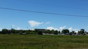
This led me down to a little trail next to a road, which I followed for a bit.
This in turn led to a bigger road, with no real “trail” per-se, but sidewalks are sort of like trails if you pretend.
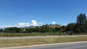
Here you can see the the hill area I’d just come from:
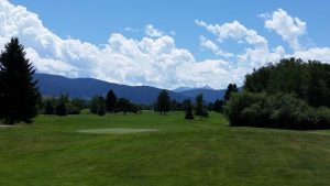
I passed a golf course as well. I don’t really golf but this seemed like a nice one.
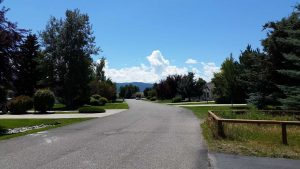
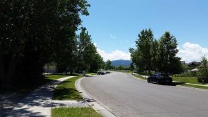
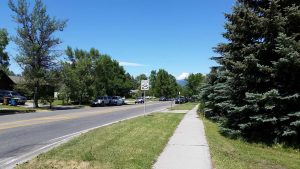
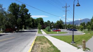
I then headed down “Fairway” road, which is so-titled because it’s right next to the golf course. It’s in a little burb area, so there is no trail – or no sidewalks here – but on the town-trail map I had (that Meem bought and was nice enough to leave behind for me) it showed Fairway as a connector route.
It was very wonder bread.
As I was walking down the road (with old people in golf clothes staring at me like I was psychopath playing Pokemon Go – which I don’t) I actually missed the offshoot to the trail. Fortunately I checked my phone and I’d only passed it by like 25 feet.
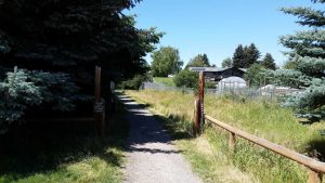
It was just kind of tucked in between two properties with no real signage on the street itself.
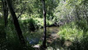
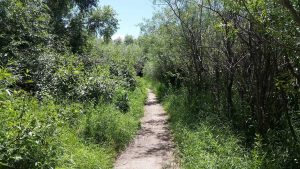
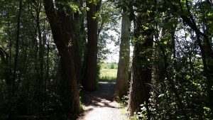
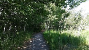
Once on the Sourdough Trail you get into a nice little wooded area very quickly.
I even saw a deer friend.
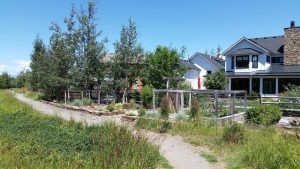
Of course once you are through the first portion, you come out in an even nicer little burb area.
Here you sort of just walk by all the burb houses for a bit until you “reconnect” with the trail.
And, again, it doesn’t take long to leave burbia behind – or at least feel like you have, houses are never very far away.
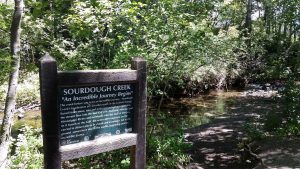
The trail crosses over Sourdough Creek more than once.
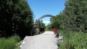
These crossings range from little boardwalks to full-fledged bridges, such as Riley’s Bridge.
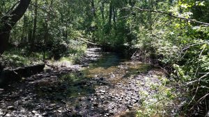
The creek itself gets a bit bigger as you move further south.
Which would make sense according to this sign given that the headwaters are to the south in the Gallatin Range:
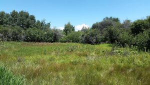
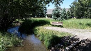
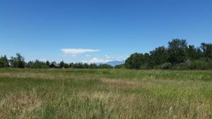
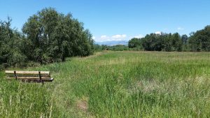
The trail sort of just follows along the edge of the creek and there is a meadow just on the other side.
While you’re never really “out” of civilization, it’s still a nice “little” (it’s not actually that little) recreational/wooded area.
If you lived nearby it would be a great spot for running, picnics, etc.
After coming to the southern end of the trail, I looped back up around in a different direction.
This brought me back into burbia.
In many places the trail was literally right through people’s backyards.
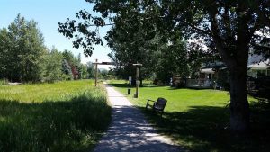
There were some gates through this area that I thought were pretty cool, of course they were more art than functional gate.
While I liked some of the houses, it felt kind weird just casually strolling through people’s yards. But no one seemed to mind now that I was away from the golf course crowd.
This portion of the trail passed through some cool Aspen groves. It still boggles my mind that Aspen groves are just one giant living organism, not separate trees.
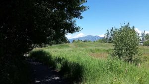
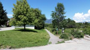
There were some nice views of the Bridgers in this area.
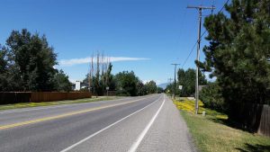
Once I’d passed through burbia, I got shat out onto an actual road-road with no real walking path. This kind of reminded me of Pig and I’s long-walk in Santa Fe.
I even passed by the Museum of the Rockies. Tristen liked seeing “Big Mike” again.
From there I kept heading north, which took me into a slightly-less burb neighborhood.
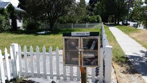
They had some cool “Little Free Libraries,” we also have them back east.
From there I connected to the Gallagator Trail.
This trail just kind ploughs through the middle of Bozeman, but in a few spots you’d have no idea you were in the middle of a city.
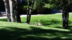
Like the other trails it skirts several backyards and one nice apartment complex had a pound with ducky friends living at it.
After walking on the Gallagator for a bit, I sort of completed my large “loop” and reunited with Moose II at the base of Peet’s Hill.
Tristen and I were ready for some food!
So we stopped by the store real quick, and then headed home for the day. I’d ended up walking much more than I intended to, and on Saturday I clocked in at 20.20 miles – which was definitely more than intended, but not enough to break my record from Santa Fe.
Sunday would shatter the record.
The day started early, as my Sunday mornings tend to do out here.
I knew I was in for quite a hike (though I didn’t realize just how big of a hike it was actually going to be) so we had a nice high-protein breakfast.
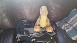
Then we got all our gear packed up. In fact I needed enough stuff for this hike that I busted out my REI backpack rather than my little day pack. It was the first time I’ve used the REI backpack (it’s technically a “travel pack”) for hiking and it was so, so much nicer than my day pack.
Then we loaded up into Moose II and hit the road.
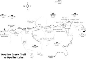
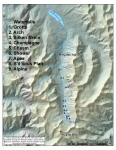
Our destination was Hyalite Canyon. Well, technically it was Hyalite Peak, but you have to go to the canyon first. Here is an ok map of the canyon area that showcases some of the more major features:
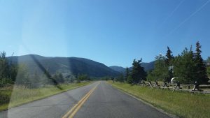
So, given our destination, we naturally we branched off the highway and got onto the aptly named Hyalite Canyon Road.
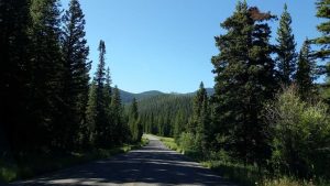
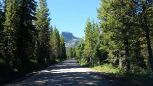
This road got real wilderness-y real quick.
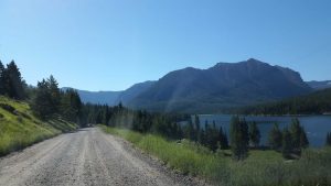
After driving deeper into the canyon you pass by the Hyalite Reservoir.
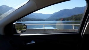
I love Tristen’s reflection in the window. Happy camper.
Once past the dam you leave the paved roads behind.
While these roads were rough, they still weren’t as bad as the Fairy Lake access road.
Since we’d been pretty expeditious on time – we’d gotten to the trailhead at 10am and the trailhead is roughly an hour’s drive from my house – we were actually able to find a parking spot that didn’t require parking ¼ a mile away.
After taking a quick wee-break (the first of many rustic wees that would be had that day) we hit the trail.
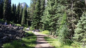
At first I wasn’t even sure I was on the right trail, because it looked more like a road than a trail.
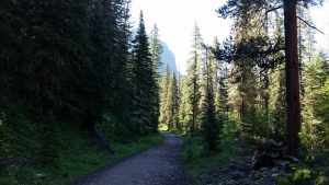
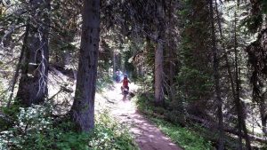
But pretty soon it narrowed and left all its road traits behind, and from there things started to get very peaceful.
This first little stretch of the trail was mostly in a cool (temperature) wooded area, I was actually fairly chilly at this point.
There were a few open areas though.
As this wasn’t that far from the trail head, there were even a few benches and picnic tables scattered around.
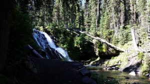
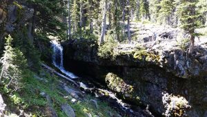
The first major stop was Grotto Falls.
Grotto falls is one of 11 – yes, eleven – waterfalls that the Hyalite Canyon Trail passes by. Here is a map that shows the major ones, a few of the more minor – or more distant from the trail – falls are excluded.
Grotto Falls is so called because of well.. that big grotto right next to it. Grotto Falls is also the furthest one can go on the “easy” portion of the trail. In fact, there is a separate handicap accessible (though in my opinion it pushes the limits of such a term) that goes straight to Grotto Falls, whereas you have to temporarily branch off the Hyalite Trail to get to them. The result is that the area was pretty busy. I struggled to get that above shot without the hallmark Asian tourists in it. Heck, there was even a big school group in the area that I (thank God) narrowly avoided.
After retreating away from the people like Gollum I descended back up into the forest and resumed my hike.
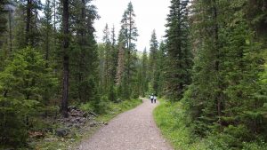
The trail was still “busy” in this area, but far less so than the Grotto Falls area. I actually spoke to the two people in this photo for a few minutes; all of us had the goal of making it to the summit. Oddly enough I’d meet them again about 7 hours later.
As you progressed along the trail the 11 waterfalls – which generally required a brief venture down a spur trail – were usually well marked.
I just sort of took distant photos of the first few falls, as it was still close enough to the trailhead that people were present. Generally speaking I view hiking as a non-social endeavor and as such I tend to prefer scenes like this:
Or this:
Or this:
More than I do areas that people congregate around – which was actually the only real flaw with going to Yellowstone during peak season.
After a while the people started tapering off and the trail started getting a bit more rugged.
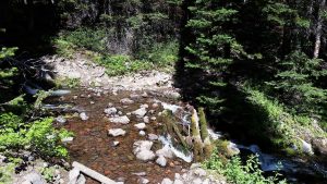
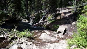
It was around in here that the trail made its first stream crossing:
And while that particular crossing was pretty simple, little did I know that the trail would cross like 25 billion more streams and creeks before the day was done.
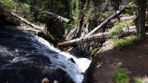
I unfortunately don’t know the name of this “little” waterfall, but it was so peaceful and deserted that I actually stopped for a few minutes to drink some water.
By this point in time it was starting to warm up, and in the direct sun I’d even say it was getting hot.
The bugs started waking up around that time too, but honestly they never got that bad – though maybe that was because I had used bug spray.
As you move deeper into the canyon you get into some very old growth forests.
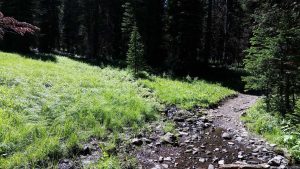
Though on the other hand the trail keeps getting more and more “natural” as you move onward, and in some cases the trail was just as much a stream as it was a trail – though this wasn’t entirely unfamiliar to me.
These “lower” portions of the canyon had a fairly gentle elevation gain.
It was just enough that you knew you were moving upwards, but not enough that you were out of breath (at least I wasn’t).
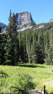
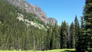
Many of the areas were just about as “postcard material” for the west as one could imagine.
There were even some fish moving down the creek, though I failed to capture them in any photo.
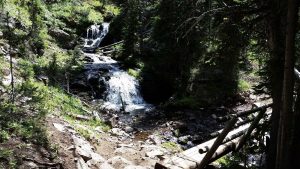
The first falls that I really got up close and personal with were Chasm Falls.
These falls were so-called because they quickly descend into this chasm – makes sense.
Tristen loved the waterfalls. I think this was the closest he has ever been to one before.
He really wanted to go swimming, but without Valentino here I wasn’t about to let Tristen go play in a waterfall.
After passing Chasm Falls it wasn’t long before we came to another set of a falls – it really is a great trail for waterfalls.
They ranged from small and simple, to fairly large and grandiose.
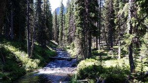
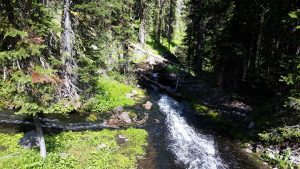
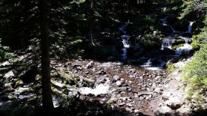
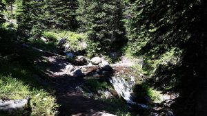
There seemed to be huge stream network all connecting into Hyalite Creek, so the sound of water was never too far off.
Of course the downside to that is that it seemed like every 10 minutes you were dealing with another water crossing.
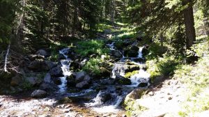
However most of them weren’t too bad and they were all pretty.
I mainly just wanted to avoid getting wet socks, as that is a surefire way to get a major blister.
Around this point the trail really started to climb. It still wasn’t anything crazy, but you could definitely feel the non-stop uphill burn starting to set in.
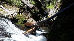
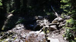
Here I came to my nemesis crossing. The problem was that it was covered in moss, even the wood. So you had to step carefully but quickly at the same time lest you just slide off.
I was navigating it pretty well, until the very end when I mistakenly thought I had made it and then my foot slipped off a rock.
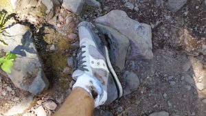
Fortunately I was able to grab a branch and not fall backwards into the stream. So all I got was a muddy shoe, a muddy sock, and slightly scratched up ankle. Tristen thought the whole affair was pretty manlies.
Here it is from the other side, those two larger rocks on the left edge are where I slipped backwards.
That was the last of the persnickety crossings though, and with the midday sun it didn’t take long for the mud to dry on my foot.
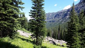
As the trail makes long sweeping switchbacks up the canyon you get continuously better views as you get higher.
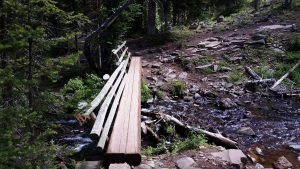
Oddly enough, they put log-bridges across the next few sets of streams, one of which was nowhere near as bad as my nemesis crossing. Still, beggars can’t be choosers.
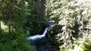
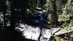
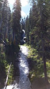
And in case you were wondering, the waterfalls were still plentiful this high up.
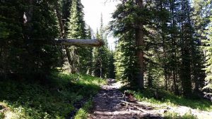
By this point you’ve gotten pretty far from civilization and other hikers start to become few and far between. As such, there were a lot of downed-trees to deal with, but most of them had been “managed” such as this one, making them easier to cross.
Things started to open up a bit as we got higher up the canyon.
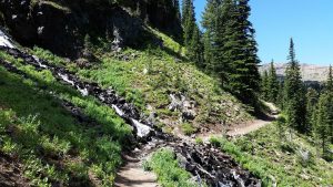
Though that didn’t stop the trail from flip-flopping on whether it wanted to be a trail, a mudslide, or a stream.
I passed by S’il vous Plaît Falls.
I honestly have no idea why they have that name.
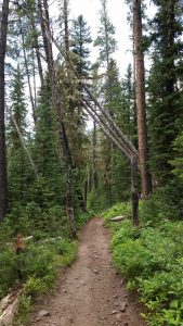
From there the trail continues onwards and upwards, with some trees that managed to fall in really weird ways.
There were a few non-bridge crossings higher up, but they weren’t too bad.
The hill the trail crawled up was much steeper than it looks.
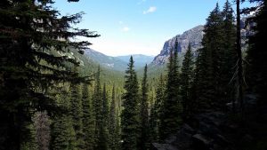
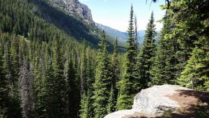
Just past that crossing was a wonderful view of the canyon.
It just so happened that this was where an extremely annoying duo finally passed me. Their stupid dog (may it be hit by a car) would run ahead of them maybe 10 feet, and then turn around and howl over and over until they caught up. It had been doing this continuously ever since they’d came within audible distance. More than a few people had complained about it as I passed them. Well, when the duo and their hellhound finally passed me, it was just howling over and over (right next to me) and they were walking along chatting like everything was cool (may they all be hit by a car semi). Fortunately they were switching back and forth between jogging and walking, so I slowed my pace just a bit and they passed me quick enough, though I still heard their stupid dog for the next 10 minutes off in the distance. So much for seeing wildlife.
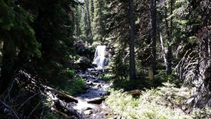
Once I’d returned to solitude I passed another waterfall.
I’d gotten just high enough at this point that the trees weren’t blocking the canyon views as much either.
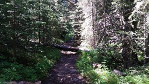
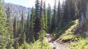
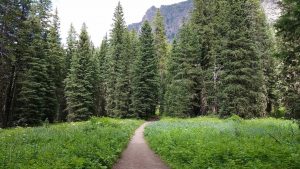
Here is a pretty good shot of what the trail looked like:
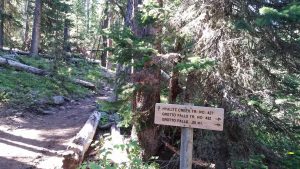
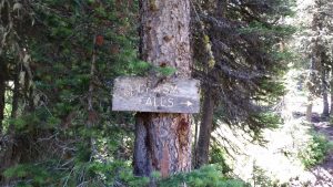
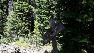
Finally I came across a sign that mentioned my destination.
It was kind of funny; the top part of the sign had broken off so someone had had to carve the word “Lake” into the sign in addition to the word peak.
See, this trail is most popular for the first few waterfalls, but after that the next most popular destination is Hyalite Lake, an alpine lake that sets in the cirque of Hyalite Peak. From there, another 2 mile long spur trail leads up to the peak, and is much less traversed due to its difficulty.
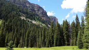
After passing by the sign, you start getting into some alpine meadows.
And from there it isn’t much further to the lake.
That stupid dog was up there, howling its brains out. Though to my enjoyment there was a group of people talking about drowning the dog (and “maybe the two douchebags with it”) as I walked toward the lake. It’s nice to have a mutual hatred of things.
After putting some distance between us and the “crowd” (I use the term extremely relatively here) Tristen and I had a snack and truck break.
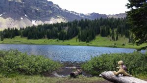
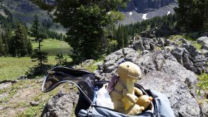
If you look very closely Tristen has his T-Rex transport truck on the log in front of him – he carries it around in his backpack a lot.
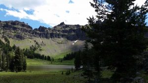
Here is a nice semi-panoramic shot of the lake.
Next to the lake were lots of smaller streams and bodies of water.
I set off on the path around the lake to see it from some more angles.
The little “ponds” were really all over the place, it was neat.
While crossing around one of these little “ponds” I bashed my knee into something. To be honest I’m not entirely sure what, but I think it was a narrow stump. It hurt like bajasus even though it didn’t look to bad.
After hobbling around internally “heeing” to the heavens for a minute, we resumed our route towards the peak.
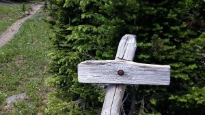
There was another very worn sign leading the way:
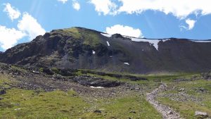
There it is, Hyalite Peak, looking over the lake and “only” 2 miles away.
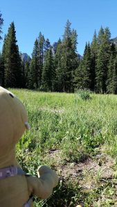
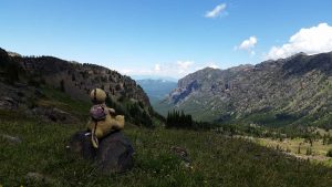
The area up above the lake was mostly deserted and it was gorgeous.
There were even a few marmots in the area, though unlike the marmots on Pike’s Peak I completely failed to capture a photo of them. Maybe it had something to do with the fact that I was hiking on increasingly steep terrain rather than riding a train.
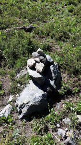
Tristen and I found several cairns along the trail, and as we are cairn-bros we always put rocks on them.
This portion of the trail started gaining elevation really quick.
I can clearly remember, when I took this exact photo I was thinking to myself “Jesus Christ:”
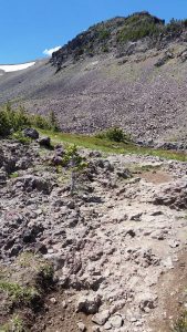
Yeah this rocky area was not only steep, but it was quite hard on the feet.
That said, we did find a little cairn, sort of hidden from view, and we added to it.
This was the area where you start getting high enough for snow (and this was mid-July mind you – of course it did snow here in July).
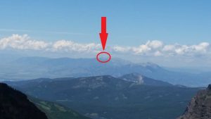
Right about that time Tristen noticed something far off in the distance. Do you see it?
If not, have no fear, I’ll explain it in a second, but it was a great “Tristen Moment” for sure.
As we neared the “ridge” or “saddle” of Hyalite Peak, things got real steep.
They also got even more rocky (i.e. the trail was rock) in a few parts, and somewhere in here I mashed my right foot against something while working my way up the ricks. It hurt pretty good at the time, but I didn’t realize until later that my second toe on the right foot absorbed the brunt of it.
Despite the level of exertion required, it was a beautiful area.
Still, as nice as it was, and as much solitude as there was, there is no way of sugarcoating the fact that this part of the trail was rough going.
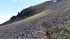
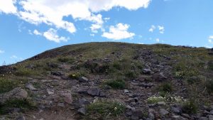
Not only was it steep, it was rocky, and not only was it rocky, it was covered in loose rocks.
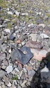
And in those rocks we found an itty-bitty baby cairn, or maybe it was just a pile of rocks in a rock. Either way we added some more rock bros to the pile.
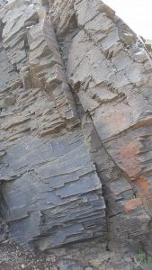
There was also this humongous boulder with really cool patterns just sort of chilling right in the middle of the cliff face. I have no idea how it got there or why it hasn’t fallen.
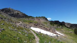
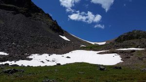
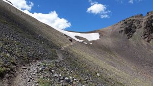
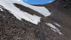
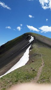
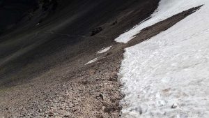
Next up was the only area where there was really enough snow left to cause problems.
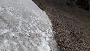
The issues here were twofold. First, the snow itself was just thawed enough that it was no longer sturdy. So, you step wrong and it breaks free and you find yourself flailing wildly down several hundred feet of rocks. Second, the gravel near the snow is way too loose to support your weight. So, step wrong and it breaks free and you find yourself flailing wildly down several hundred feet of rocks. I actually met a few groups who had turned around at this point, which had to be rough since the summit is right there above you after at least 4-5 hours of hiking.
Anyways, the result is that you’re kind of stuck between a snow and a gravel place. Fortunately I’m pretty decent at treading lightly, so I made it without much issue other than brief moment of panic when the trail itself shifted under me.
This photo gives you a good idea of where that snow bank was:
By this point I’d caught up to some people, and I actually saw one of them eat snow hard ahead of me. In fact I thought he’d gotten knocked unconscious for a second, but then he got up. He was being really stupid and trying to diagonally cross the snow bank as a shortcut. Yeah don’t do that. He is really lucky he fell where he did, because had he been like 20ft lower or higher he probably would have gotten shredded into a chunky blob as he plummeted down the cliff face. Had it been the dog people (or preferably their dog) I couldn’t have cared less, but this particular person I hadn’t interacted with enough to feel completely ambivalent about their savage death, should it occur. 🙂
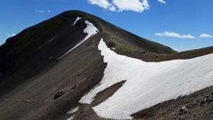
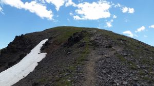
Once past the two (really 2.5) snow banks, I made it up to the ridge. Here I was met with a huge blast of wind, which wasn’t unexpected this time. I took a photo of the ridge, but the wind ensured that my finger made it into the shot (it’s surprisingly hard to have your phone not get blown out of your hand).
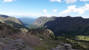
Here is a nice view of the cirque I’d just worked my way up through, you can see the trail down there.
Just because the summit was close doesn’t mean that getting there was going to be easy. This last little jaunt beat the piss out of my respiratory system.
Here is a shot looking back on the ridge:
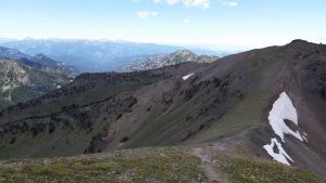
These are pretty, but in reality I use them as an excuse to stop and breathe for a second.
There wasn’t so much a path at this point as there was a scramble up some rocks.
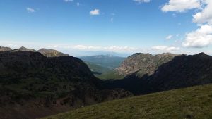
Just below the summit I paused and took this photo.
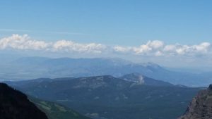
Do you see it? What Tristen was looking at? Let me zoom it in a bit for you.
Still don’t see it? Maybe this will help.
There you go. That’s Tristen’s Mountain! Yep, what Tristen had noticed on the way up was that he was going to have conquered two adjacent highest peaks: The highest peak in the Bridger Mountains (Sacagawea) and the highest peak in the Hyalite region [Gallatin Range] (Hyalite Peak)!
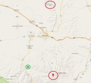
Here is a map that shows the “Tristen Peaks” and where they are located. Notice how they form a giant “gate” for Bozeman?
Also if you were curious, Storm Rastle’ is located at the green star and circle on the map.
This brings Tristen’s three “peak” claims to: Storm Castle Peak (7,165’), Sacagawea Peak (9,839’), and Hyalite Peak (10,298’).
Here is a panoramic view from the summit of Hyalite Peak facing south.
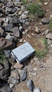
And here is the Forest Service marker next to the summit cairn.
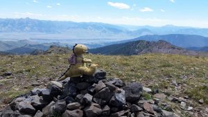
And, of course, here is Tristen claiming said cairn (after placing our rocks on it, naturally).
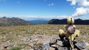
Here is Tristen roaring while looking at the distant Sacagawea Peak. He has now pretty much dominated the entire area.
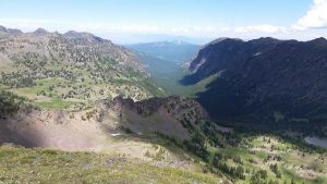
This is a pretty nice downward-angle shot of Hyalite Canyon. Hyalite Lake is that body of water in lower-mid right side of the photo, whereas Hyalite Reservoir is that hard-to-see body of water way out near the mouth of the canyon. Bozeman lay in the valley below the distant Bridgers.
I thought this was a really cool ridge formation on the east side of Hyalite Peak. Tristen said it would make a good wall, I agree with him.
This shot is angled to the southeast.
And here is Tristen, complete with his truck, lording over his domain from 10,298’ in the sky.
After a well-deserved snack and water break at the summit, we started heading back down. We had a long hike ahead of us to get back to Moose II.
Those 2.5 snow banks we had passed earlier now marked the most dangerous part of the entire return hike.
All of the dangerous features I described before were still in effect, but now I was going down. And that’s the hilariously ironic thing about hiking, when you’re going up it’s so physically difficult that you envy the people going down. Yet, when it’s your turn to go down, you then realize that not only does going down still cause physical issues (knees and ankles) its way more dangerous. Luckily, because I think about stuff like this, I had mentally mapped out my descent plan while ascending. So, notwithstanding a few minor slips and slides, I made it past the two snow banks with little more than a cold and muddy hand.
Once I was back down into the cirque the wind died down and the rocks were the only thing causing trouble.
I noticed a couple of little crossings on the way back that I didn’t on the way up, interesting how stuff like that happens while hiking.
As I was crossing the rocky fields I noticed that my feet were really banged up at this point; I was definitely getting a blister on my left foot and my right second toe really felt mashed. But, what can you do? You just gotta’ keep walking.
Fortunately when it comes to places to walk, Hyalite Canyon is pretty high on the list (*ba dum tss*).
I saw a marmot near this crossing, and once again failed to photograph it.
While the day had started off cold, I have to admit that it had gotten hot enough at this point that I was thankful to reach the tree line.
We stopped for some water at Hyalite Lake.
It’s a very good “chilling” spot after coming down from the summit.
It was kind of nice, because it was getting “later” (e.g. after 3pm) in the day most of the people were now clustered more around the trailhead, so I dealt with less traffic coming back.
Also, because I was on the return trip I knew time wasn’t as much of an issue, so I was able to check out little side paths and their respective views.
Eventually I came to my nemesis crossing:
Though this time I crossed it without issue, and even I managed my way across the next crossing without getting wet as well!
Though I still wondered about why some of the larger crossings didn’t have one of these:
Getting to see the waterfalls in both the morning and afternoon light was really neat.
What wasn’t neat was dealing with the occasional dirt bikers. The Hyalite Canyon Trail is what is called a “mixed use” trail (e.g. mountain bikes, horses, dirt bikes) during certain times of the year, and during that period the trail can be used for dirt bikes from Sunday through Thursday. Since it was Sunday it meant I had to deal with them. Now, in fairness I only encountered 4 groups of them in about 7.5 hours, and of those 4 groups 2 were courteous. However, there were 2 groups that were going so fast they were sliding off the trail and just about hit me. I was not amused, especially when they were tearing the trail up. Here are two of the culprits:
I can generally deal with mountain bikers (though there are exceptions, of course) but dirt bikes just seem woefully out of place on a hiking trail. Can’t say I’m a fan of allowing them to use them. Plus, if you hope to see any wildlife, a dirt bike will ensure that won’t happen. Fortunately the dirt bikers really can’t get their bikes to the upper altitudes very easily (at least not without dying) so that was a plus.
Eventually we came back to Chasm Falls:
Of the smaller falls I think it was my favorite because of how you could look down into the chasm without imperiling yourself.
After that we started descending into the lower canyon again.
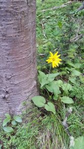
I spotted this little flower growing all by its lonesome. I took a photo of it because I thought it was pretty.
Plus, I liked the fact that it sprung up out in the non-flower lands. As you can see it wasn’t really in the middle of a flower metropolis by any means:
Of course there were lots of wildflowers along the path, probably not as many as earlier in the summer, but still plenty.
It was actually just on the other side of that meadow that I met up with the two people I’d spoken too near the beginning of the day. They hadn’t made it to the summit (too steep) but they had made it to the lake. We chatted a bit and I showed them my battle scars and then I was on my way. I did think it was kind of interesting that I’d not only seen then again, but that I had caught up with them after adding a bit over 4 more miles to my hike (not to mention that these were the 4 steepest miles of the whole trail). Of course I’ve recently realized that I’m a decently fast hiker. I mean, don’t get me wrong, I’m not breaking any trail records and could never keep up with the Hotshots but I’m at least in the “high-average” territory, if not the “middle-upper” range. I say this because I generally only get passed by about 5-10% of people, whereas I tend to pass about 90-95% of people. Of course you have all sorts of sample issues there, so I’m probably not that fast, but still I feel safe in saying I’m above average, especially when you consider my leg issues.
After parting with the duo, I hiked on for a bit further down into the canyon until eventually I met up with the Grotto Falls trail and with it more people.
From there it was just a (comparatively) short jaunt back to Moose II. All in all Tristen and I spent approximately 7 hours and 20 minutes going from Moose II to summit to Moose II, and that was with lots of photo stops. I thought that was pretty good when all the guides said to allow 9 hours in non-snow conditions (not that I really had snow conditions, but hey, there was snow).
Yet, despite that adventure, the day wasn’t over yet! See, there are four “major” trails in Hyalite Canyon: The Hyalite Trail (to either the lake or all the way to the summit), The Grotto Falls Trail, the Palisade Falls Trail, and the Emerald & Heather Lakes Trail (and there are of course a multitude of lesser-known trails). At the time I didn’t know about the Emerald & Heather Lakes Trail, which turned out to be a good thing – more on that in a moment. For Sunday my goals were to do all three trails I knew about, Hyalite, Grotto Falls, and Palisade Falls. I had no idea just how much walking that goal would entail, but hey, I’m rarely one to think small.
So, having done Hyalite and Grotto Falls, Tristen and I set out for Palisade Falls.
Meem had actually been out to Palisade Falls when she had rented her Jeep.
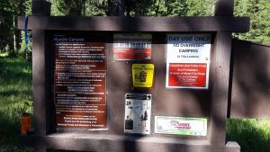
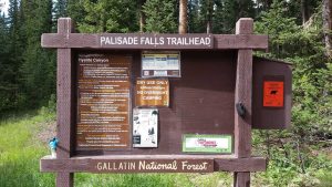
As you can see from this sign, the Palisade Falls trail is much more, ehm “people friendly” than the Hyalite and even the Grotto Falls trails are.
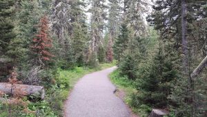
In fact the entire trail is paved right up until the falls.
Still, it was still somewhat steep-ish in a couple of areas, and I was power walking, which was enough to have me sweating a little by the time I reached the falls.
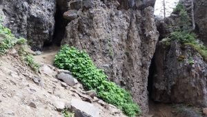
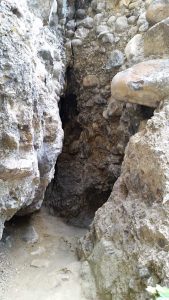
Next to the falls were a couple of itty-bitty caves, it made me think of Valentino.
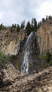
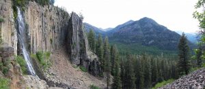
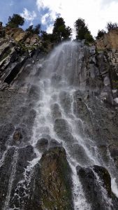
The falls are located in this sort of “crevice” area in the cliff face which has really cool rock formations.
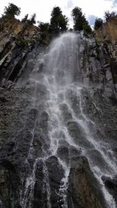
You can either stay back a bit and take in the falls, or you can really get right up to the base of them.
I think it’s obvious which option I chose.
There was some dumbass (complete with beer in hand – seriously) trying to climb the falls (more on him in a second) in the wet-rock and moss area, but Tristen and I decided not to be dipshits and climbed up a dry area for a better view.
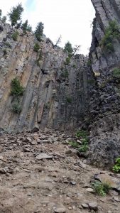
We gained some decent elevation this way, and were able to see up and out of the falls area.
Here are those little caves I was talking about:
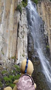
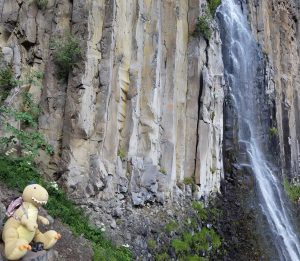
Tristen quite liked these falls.
He found that they provided a good acoustic and visual backdrop while playing with his truck.
Hiking alone can be hard enough, try doing it with a Tyrannosaurus Rex in your backpack, and further with a truck inside the T-Rex’s backpack.
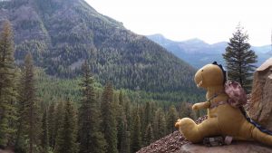
Here’s a pretty cool view of where we were at:
After deciding that the rocks above us were a bit too sketchy looking to proceed anything further for our tastes, we headed back down.
We then decided to explore those caves a little bit, but really just stayed at the entrance because God knows what was down in there.
Right about the time I was heading back down to the path from the caves, I heard some shouting; I looked back up at the falls and there was 1) a very panicked girl at the base of the falls shouting up at 2) The aforementioned moron who had decided to climb the falls. Turns out the dumbass had gotten himself stuck. Remember how I was talking about how going up is actually easier than going down? Yep. Now, before you start to feel sorry for this dipshit, keep in mind that while you are allowed to climb around the falls, he was ignoring the signs which explicitly said “Do not climb Palisade Falls.” Yep. Plus, the fact that he had climbed up there while drinking a beer (which you aren’t supposed to have there in the first place) makes him even less deserving of any non-negative emotion. From the sound of his voice I could tell that he was actually getting pretty nervous. I was glad. I left. I haven’t heard any local news of a dumbass plummeting to their death on the rocks at Palisade Falls, so he probably survived to continue to be a moron. Shame.
As you can see I just ooze caring feelings for people. 🙂
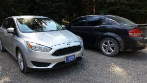
Once we made our way back down to the trailhead we found that Moose II was wrapping up a conservation with another car about quantum harmonic oscillators. Don’t judge a book by its cover.
After Moose II wrapped up his conversation, Tristen I were ready to roll out. We were pooped and we still had an hour’s drive to get home and laundry waiting on us.
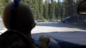
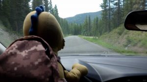
Of course that didn’t stop Tristen from taking the wheel before we could even get out of the parking lot.
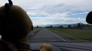
In fact Tristen drove us all the way out of Hyalite Canyon..
..and to the outskirts of Bozeman before he decided it was my turn.
By the time we reached our house it was starting to look like it might rain.
Though I don’t think it ever did, which was unfortunate because Moose II was FILTHY. Oh lawds if ever a Ford Focus was dirty, then Moose II was it. Tristen thought it was exceptionally manly.
After a much needed shower I assessed the damage to my physical form.
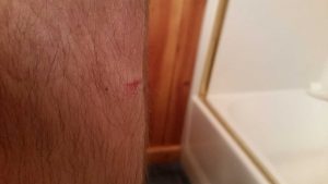
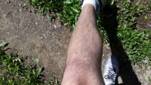
Hey it looked more swollen in person, don’t judge.
The cut on my left lower knee was nice and swollen and made my whole knee ache, but there was no serious damage. I had a nice blister forming on my left foot-pad and I also had some weird pain in my left heel – probably a mild bone bruise – but there was no serious damage. There were some minor scraps on my left ankle from my nemesis crossing, but there was no serious damage. On my right foot my second toe had blood under the toenail – a result of that bashing some rock gave it, and in truth this toe has hurt more in the days since than anything else, but there was no serious damage. And other than that, it was mainly just soreness and aches and pains. Interestingly enough my legs weren’t that bad, though in fairness I had consumed 2 tramadol that day (but still, even since then my legs haven’t been as bad as my feet, it’s weird).
After taking note of my “rattle rounds” I noticed that I had actually changed enough altitude that day that my water bottles had compressed on themselves, just like they do if you fly in a plane.
I thought that was kind of funny and cool, though I still wish I would have taken 5 bottles of water instead of just 4 (as a general rule, I’ve always found that I want less food than I think I would, and more water than I think I would when hiking).
For dinner I literally just through random things into a pan and cooked them.

Poor man’s crab, random cheese bits, random spices, and mustard.
But it turned out well, so who cares – not me! 🙂
I was obviously really tired, so after laundry and my other Sunday chores were done I had a couple beers and then got to bed. Sadly I slept really poorly (I think I was too tired to sleep, if that makes any sense) and so I spent most of Monday in a fugue state.
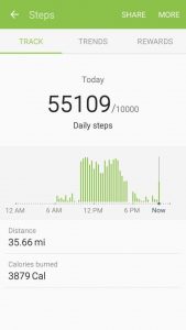
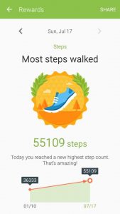
Still, in my defense, I think I had a right to be pretty tired. On Sunday alone I had walked 35.66 miles, or 55,109 steps.
That is a full 18,776 steps over my previous record in Santa Fe when Pig and I walked to Mount Atalaya, climbed it, and then walked home.
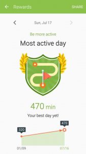
My phone says I was active for 470 minutes (roughly 7 hours and 48 minutes) but I think that is quite under-reported because even if the phone wasn’t counting my “standing” or “sitting” time I still think I was moving more than that.
But still, even if it’s not totally accurate, it provides a reference against the Santa Fe hike.
If, for whatever reason, that doesn’t seem like a whole lot to you, then you must remember that about 1/2 of it was uphill (and not just any hills mind you, the mountain variety of hill).
So, in total, from Friday to Saturday I walked 63.69 miles – quite a feat for yours truly, and in truth this trio of days, particularly Sunday, may well be The Hike of all time for me, but who knows. That’s precisely why I gave this post the simple title of “The Hike,” it’s obviously not because I haven’t done other hikes, and not because I won’t continue to do more hikes. Heck, I might even do longer hikes in the future. But this will always be The Hike for me, because it was the first time in my life that I sat out on a hike that I truthfully wasn’t sure I could do (based on distance and my legs, etc.) – and I did it, where others turned back, I pushed forward.
And in fairness, it’s not like I’m ready for the Seven Summits now (or that I ever will be), but at the same time, I also climb mountains with a dinosaur on my back. 🙂
Plus, I was so sore on Monday that I couldn’t even get my morning run in, lol. That said, I’m slowly getting back to normal and it’s mostly just the toe on my right foot that is still causing me issues. The funny thing is though, remember how I mentioned the Emerald and Heather Lakes Trail? Yeah, the other major trail up in Hyalite Canyon. Well, the office is going to hike that trail on Saturday at 9am, all 11 miles of it.
Yep.
The things I do. 🙂
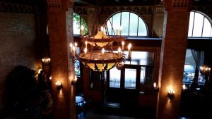
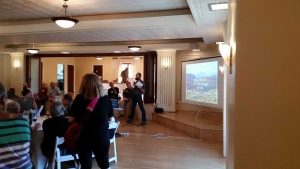
Of course in addition to the surge of walking, I’ve also had the biggest work surge this week that I’ve had the entire summer thus far, and that’s required a fair amount of “overtime” (I put it in scare quotes because I don’t really get overtime), so not only I am sore, I’m mentally stressed. But hey, I got to go to a swanky old hotel for a “Bison Party!”
What is a “Bison Party” you might ask? Well, it’s basically a celebration of recent victories that allow wild bison to roam beyond the borders of Yellowstone National Park without being hazed (chased via helicopters, gunfire, etc.) or killed. So it was a happy event full of various environmentalist and conservationist organizations – oh and they had free food and beer too, always a plus.
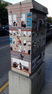
Then, on the way back to my car after the event, I walked by one of Bozeman’s trademark traffic boxes, that was covered in all sorts of animals. How cool.
So, I might be physically and mentally tired, and I might be going on another big ole’ hike this weekend, but hey, at least I’m doing good work and getting out there and seeing little bits of this big ole’ world in which we live.
Until next time,
-Taco
P.S. A colleague brought in a TON of freshly picked cherries from the Flathead Lake area here in MT, I instantly thought of a certain little polar bear!

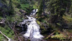
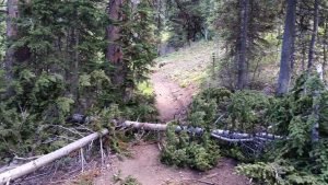
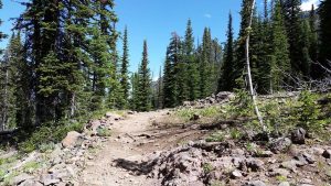
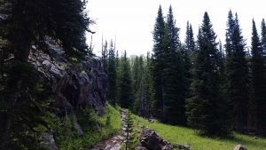



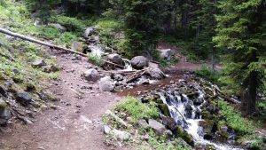
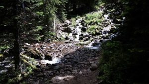
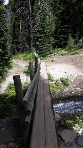
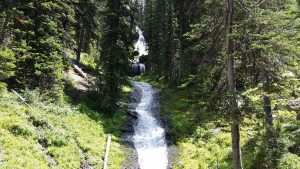



What an adventure! I am jelly of all the falls that you got to see that I did not. But I still like knowing that we shared at least part of it, even if weeks apart.
Elaborate on the Forest Service marker, please. What is it?
It’s just a Forest Service coordinate/elevation marker for geological and topographical survey/mapping purposes. They are also weak spots in the Matrix.
So it just tells you how high you are, basically?
And thanks, Obama. You just made me want to watch the Matrix again. Though the stress of no longer having a land line would probably give me many sleepless nights afterwards.
Basically
Cool beans.
Wow, you and Tristen sure had big manlies adventures with beautiful scenery. I think it’s both amazing and crazy that you two were able to hike so far and high. Definitely shows you the great feats you’re capable of accomplishing.
I also loved that Tristen claimed peaks that created a shield around Bozeman. He certainly is a smart dinosaur to pick such strategic kingdoms.
Yeah, it was a lot of fun! Of course in hindsight I think I may have legitimately broke the tip of my toe, lol.
And yep, Tristen plans these things out well!