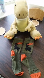
Greetings from Montana,
Things continue to go well, though they’ve slowed down a bit since last time, which in fairness I predicted they would. Of course slowing down has both its benefits and its drawbacks. On the work side, slowing down is a good because it gives me more breathing room and – quite frankly – more chances to learn. On the not-work side of things, slowing down is a bit more of a mixed-bag, since “slowness” can make the days creep along a good bit, especially on the weekends. So, what better a way to combat a slow weekend than to well, make it a not-slow weekend. The recent trend has been to get up early and get out into the wilderness, and since I’ve enjoyed that strategy so far, I decided to keep it up this past weekend – though I stepped things up a bit (literally).
After a relatively normal work week (though my boss did take me out for tacos on Friday, yiss) Tristen and I slept in on Saturday until about 8:30 and then got up and embraced the day!
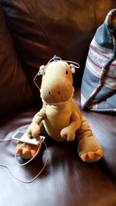
Since it was Saturday it was also “long run” (for us) day, and since Tristen knew we were planning on hiking (and that dinosaurs live in the mountains) he was more than ready to get the run started.
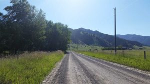
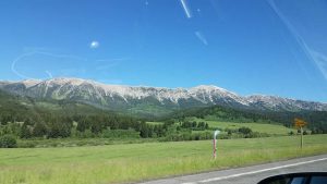
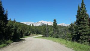
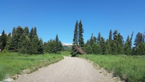
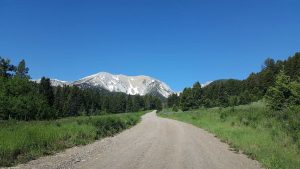
I continued my progress with my Saturday runs. This time I made it a bit further down the gravel road, but still nowhere near the base of the Bridgers.
Once we were all exercised and coffee’d up, Tristen and I ran a few errands down in Bozeman, and then we were off to the “Sypes Canyon” hike. The cool thing about Sypes Canyon is that it’s only about a 11-12 minute drive from our house!
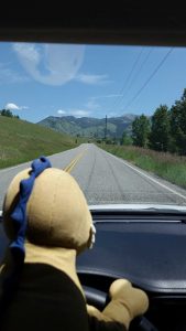
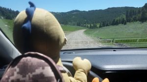
Tristen drove part of the way.
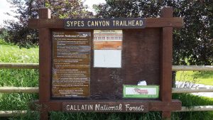
The trailhead itself is located back in a gravel road cul-de-sac in the appropriately titled “Sypes Canyon Subdivision” – though it’s more like a few houses in the middle of a field than what I traditionally think of as a subdivision. When I arrived I noticed a tent was set up and there were “Runners on the Road” signs. I had no idea which road they were talking about, but it turns out that there was a trail run on the Sypes Canyon trail that day, so at the start of my hike I had to dealt with a lot of foot traffic, but that tapered off fairly quickly as the day wore on.
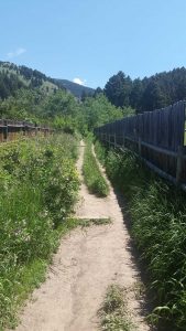
The start of the Sypes Canyon trail is actually pretty “meh.” You start on an overgrown path between two privacy fences and with no trespassing signs everywhere and the smell of dog shit wafting through the breeze.
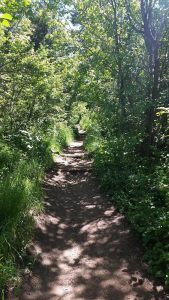
You then proceed through a wooded path, which is overgrown in a few spots, and swarming with bugs, and still smells like dog shit.
But then things start to improve quickly as you break away from the houses, bugs, and dog shit then start to head upwards.
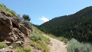
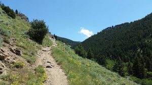
The trail goes from a woody-swamp up to an exposed rock face fairly quickly.
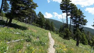
The wildflowers were all over the place on this outcropping – I’ve loved how many wildflowers there are here.
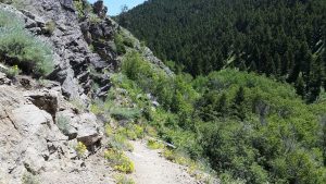
Once you reach the top – or rather as close to the top of the outcropping as the trail gets – you get a nice view of the canyon beyond
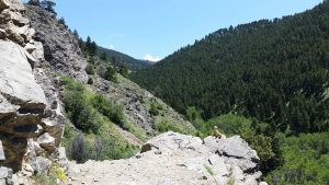
One of these things is not like the others.
And from there you proceed back down into the woods again.
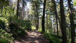
This second wooded portion is much more pleasant. It’s less weedy, more “foresty,” and has no dog shit.
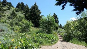
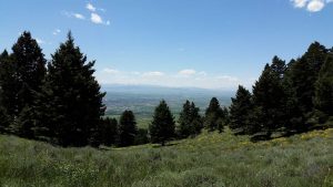
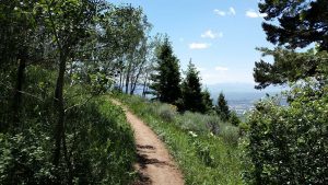
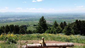
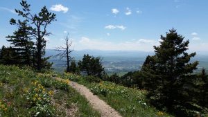
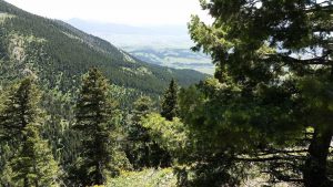
After walking slowly upwards through the forest for a bit, the trail then opens up to a meadow with some great views of Gallatin Valley beyond.
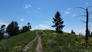
After making a left you proceed upwards a bit more.
Before coming to the “overlook” which is the spot a lot of trail guides recommend as a turning around point if you’re just a casual hiker (which I guess I am, but with a serious propensity to act like a veteran hiker, regardless of the lack of said hiking ability).
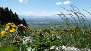
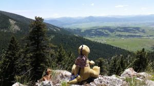
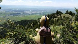
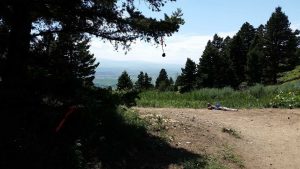
It was gorgeous up on the overlook knoll, even Tristen liked it.
Here is a nice wide-angle shot of the overlook.
Of course I didn’t turn around, I was curious where the trail went from there! Turns out that deciding to continue onward was one of the better hiking decisions I’ve made.
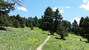
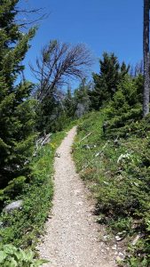
The trail was smaller and less traveled up here, but the incline was (mostly) not that bad.
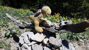
Tristen found himself a rock to survey his dominion.
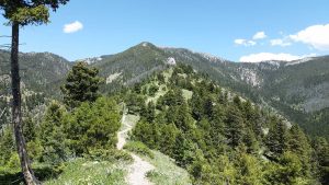
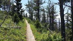
Past Tristen’s rock the trail followed the ridge line for a bit.
When he couldn’t find a suitable rock further along the trail, Tristen opted for a tree instead (courtesy of Valentino’s tree-climbing lessons).
The wind had picked up a good bit up here, which was nice since it was a hot day.
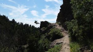
Eventually the trail curves around the backside of one of the mountains.
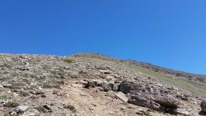
This part was actually steeper than it looks.
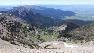
But the views continued to impress.
Once you reach the “top” (of this smaller mountain) there is a cairn to mark the summit. Tristen and I added our own rock to it.
Once you’re at the cairn, the trail continues upwards and back towards the mountain. You quickly come to a junction (with another cairn) where if you go left you continue up into the 24 mile long Bridger Ride trail, or if you go right you go down to the M Trail. We continued up past the junction (on the longer trail) for just a short bit because there were two people for the race stationed at the crossroads. Tristen and I took this post-junction solitude as an opportunity to go wee on this tree, since I figured that going wee at the highest altitude for the day was manlies.
At this point we decided to go ahead and turn around and head back down.
On the way back I noticed that most of the junctions had little pieces of ribbon on them. I’d actually noticed these on the way up, but I hadn’t paid much attention to them, but on the way down I realized that they were directing the trail runners for the race that day. I especially like the bottle cap handing by a ribbon.
As I went down and neared the end of the trail, I noticed this tree growing out of the side of that first rocky outcropping. It sort of made me wonder why we don’t associate trees with resilience, because I mean seriously.
That night my legs were hurting me the worst they had so far since coming to Montana, so I took some ibuprofen – which doesn’t really help my legs but it helps the other soreness – and chilled for the evening. That said, the chilling didn’t last long because the next day I had an even bigger hike planned – the goal, Sacagawea Peak which at 9,665ft is the highest peak in the Bridger Mountains.
[Historical Side Note: If you’re really keen eyed, you’ll notice that “Sacagawea” is also sometimes spelled with an “j” i.e., “Sacajawea.” Based on what I’ve read, the “g” is actually the more accurate of the two spellings in regards to her Lemhi Shoshone name. Also, there is another peak named after her in Oregon, though this Oregonian peak is spelled with the “j.”]
The thing is, it takes quite a while just to get the trailhead. So we were on the road by 9:30am on Sunday.
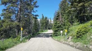
Of course it’s not as simple as driving the nice fancy highway all the way to the summit. Heck, there’s not even a road to the summit period, unlike Pike’s Peak. Instead you drive out to what is the called the “Fairy Lake” access road – so titled because it leads to a glacial lake called – you guessed it – Fairy Lake. There is a campground up by the lake, and several trailheads. That said, you have to get to that area first, which is about 7 miles off the main road on a dirt/gravel/rock road.
In fact this road is closed, or partially closed, for most of the year due to snow. So, if you want to hike up by the lake (or beyond) then you have to go as far as the road will take you – anywhere between 0 and 7 miles – and then park and hike the rest of the way. Fortunately for me the last little jaunt had just opened up just the week prior, so I was able to drive all the way to just outside of the the campground area (which itself didn’t open until July 1st).
Prior to the trip, I’d been warned multiple times about the access road, and all the Forest Service stuff says that a “High Clearance Vehicle” is strongly recommended and that the “Road Conditions Vary Significantly.” Further, people online were talking about how they got flat tires or bent their rims (or worse) on the road. Well, Moose is a Toyota Corolla, not a high clearance vehicle by any means. But, I am stubborn and am no stranger to crappy gravel roads.
In fairness, there were a few areas of the road that were pretty bad, but I was in no hurry, so Moose and I took it slow and made it through (both out and back) just fine. We just pulled over when the 4x4s came by, and took the areas that were less of a road and more of a pile of rocks very slowly. It took me about 45 minutes just go to 7 miles. My guess is that a lot of the people having problems failed to understand that you should probably not drive your Audi 30mph over a rock jutting 6″ into the air (such people exist, as you probably well know).
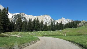
I didn’t get any photos of the really bad areas, because I was a bit more concerned about driving than I was taking pictures, but you can still get the general idea that this wasn’t your normal paved park road.
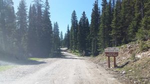
But, after passing through the various stages of the road – which ranged from normal grave, to mud pits, to sheet rock – we arrived at the lower campground parking, and it looked like a bear had eaten part of the sign.
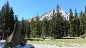
Tristen was rearing to go, as he really likes his mountains. I noticed a few other sedans in the parking lot, but I’d say 95% of the cars were 4x4s. I had gotten there early enough (both in the day and the season) that the parking lot was maybe 1/10 of the way full at that point.
It was MUCH cooler up there, as the lake itself is already at about 7,500ft.
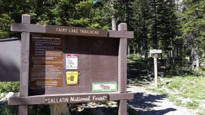
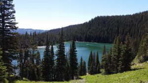
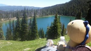
There is a Fairy Lake trail, which is swarmed with kids and is fairly easy, and then there are also the more difficult trails. You can see the smaller sign marking the route to Sacagawea Pass off to the right of the Fairy Lake trailhead sign in the photo above. Once we got started on that trail we briefly branched off for a photo of Fairy Lake (taken from up above, away from the children dotting the lake trail).
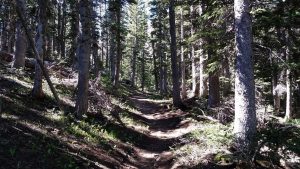
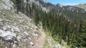
From there it was deep into the woods and up and up.
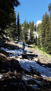
It didn’t take long before I encountered some snow, and here I was in my tennis shoes, shorts, and t-shirt. I really am going to have to get better gear if I move west. Though hiking up Atalaya in the middle of winter in office shoes is still kind of a personal achievement in my book.
Of course as SB will remember from Mt. Rainer, it’s quite possible to be standing in snow while on the mountain but still quite warm due to all your exertion from hiking. It’s weird.
Being a bonafide mountain trail, it was pretty steep in parts and the ledge was not very far away.
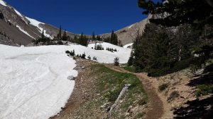
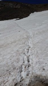
Eventually the trail sort of just got consumed by the snow (as I mentioned, this was still early in the season).
One advantage to being early in the season was the lack of people – the trail to the summit was not busy, AT ALL. The drawback was that since there were no people and the snow covered the trail, I had to sort of figure things out on my own.
The good news is that there were foot tracks in the snow, the bad news is that that some of them lead absolutely nowhere.
Eventually though Trisen and I found our way up to a plateau.
And from there we promptly lost the trail again. So, we took matters into our own hands and starting climb up the rocks. No, I don’t mean hiking up the rocks – there was no trail here, I legitimately mean climbing up the rocks.
And here is the same view with the background included for more visual reference.
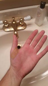
I actually was doing pretty well – considering I had no gear and was in tennis shoes. Sure, I cut my hands up and lost my water bottle (which I recovered – no littering for me) and broke my sunglasses – lol – but I survived. I made it all the way up to a boulder – seen below – and then got stuck.
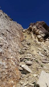
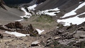
Notice the boulder in the upper middle of the photo.
It was about that time that I stopped taking photos and started to realize that I’d actually got myself in a pretty dangerous situation. So, I climbed down a bit (actually it was more of a semi-controlled slide) and rerouted myself, and then finally found the trail again. I’d be lying if I said I wasn’t very nervous for about 15 minutes.
In hindsight it was probably a really dumb and dangerous thing to do, but I did it and I made it to the trail, whereas the other folks who had been near me on the hike had simply turned around.
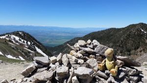
At the top of our hard-won ridge (which is actually the “saddle” between Hardscrabble Peak and Sacagawea Peak) was a yet another cairn, which Tristen I put a rock on while trying not to get blown away by the wind. Once you crested the ridge, it was like getting hit by a wall of wind – I later found out that the winds were around 30mph that day, and on top of the chilly air it made it quite cold up there (my hands went numb by the end of it – see note about gear above). It made keeping Tristen in one place quite difficult – not that that isn’t hard already.
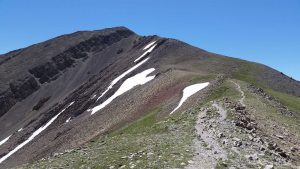
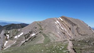
From the cairn you then follow the “saddle” upwards towards the summit.
Here is a view looking back towards the cairn, you can see the rocks I climbed up in the right of the photo.
The last little jaunt to the summit was quite steep.
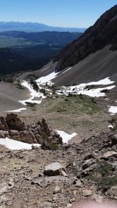
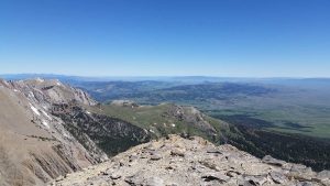
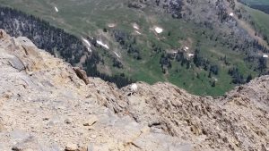
And this is what it looked like if you looked down during the climb.
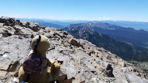
But, at long last, Tristen and I made it to the summit – 9,665ft up.
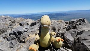
Behold, King Tristen, Son of Taco, Lord of the Bridger Mountains, Master of all his eyes can see.
Tristen was pretty ecstatic that we made it to the summit.
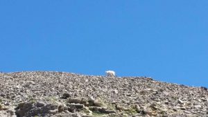
Before two long some mountain goats noticed us, or rather, Tristen noticed them and then they noticed us.
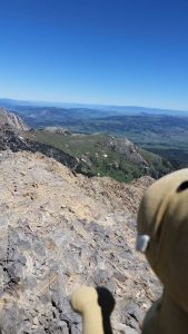
Look closely, the alpha goat is there.
Then the goats started moving in.
So we decided to give them some space, and by we I mean “I” – because Tristen wanted to eat them. The one person I met up there (who was decked out in proper gear) was going down and he told me they were aggressive, but I had a white shirt on so I can’t help but wonder if the goats though I was also a goat – who happened to carrying a T-Rex, which as showcased by Jurassic Park, love eating goats.
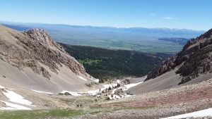
After that we started heading back down, and rather than go the rocky route (yeeeeeah, no), we used our altitude to spot a much-longer, but more relaxed route through a huge snow bank (though we ended up falling quite a bit on the way down, though falling on snow > falling off a rock face). Which took us back down to the basin, which is where this photo was taken. The people in the photo had just turned around and had asked me how I’d gotten up to the summit, I don’t think they liked my answer because they kept walking down, lol.
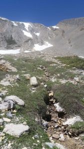
On the way back I noticed some little melt-streams I hadn’t noticed on the way up (since I was preoccupied with finding the trail).
Further on the way down I encountered more people since it was later in the day, but by and large the trail still wasn’t very busy.
And that lack of business is probably why I encountered a bear. Yup. I figured it would happen sooner or later, and lo’ and behold’ it happened on my descent from the summit and about 25 miles from civilization. It was a black bear (which can be brown, as an FYI – and this one was). I “knew” it wasn’t a Grizzly because I’d taken a “Bear Safety Course” through the Forest Service and scored 93% on it. So I guess you could say I was 93% sure it wasn’t a Grizzly. Fortunately, we both saw each other well in advance – I’d say about 40 yards apart. It stood up on its back legs to smell me and look at me, and I then realized how big it was, haha (it was slightly less funny in the moment). Fortunately I knew that none of what it was doing was aggressive, so I started talking to it (not screaming – just talking loudly) and we stared at each other for 30 seconds or so, then it snorted it me and I clapped at it, then we went our separate ways. I had my bear spray on me, but I didn’t really want to use it since I was in the bear’s home, and luckily I think the two of us were much more curious in looking at each other than we were getting closer to each other. But still, it was a pretty crazy experience! I’m glad I had read up on how to handle those kinds of situations without anyone (human or bear) feeling too threatened.
Sadly I have no photos to offer as proof, because I was more concerned with talking to my bear-friend so he wouldn’t eat me than I was of whipping out my phone and taking photos. Unlike those dumbasses who get killed while taking selfies, I’m a bit higher up the Darwinian ladder.
After our manlies hike and bear-friend encounter, Tristen and I stopped above Fairy Lake for an afternoon snack and some water.
Then we headed the rest of the way down the trail and back to the parking lot, which had a lot more cars in it now. After getting the rocks out of our shoes, Tristen and I were off on the access road again.
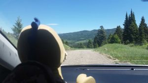
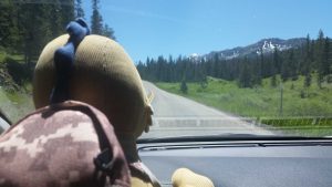
Tristen was quite adamant that I let him drive this time.
And he continued wanting to drive even once we were back on the highway.
At one point on the way home we saw another bear! This one ran across the road and then stopped to eat some berries or something.
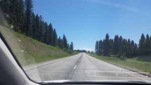
Look just to the left of the road in the middle of the photo.
I didn’t get a good look at this bear, so I don’t know how large it was, but it was still big enough that when I saw it run across the road from a good distance away there was no doubt as to what it was.
After that the rest of the drive home was uneventful, which was kind of nice.
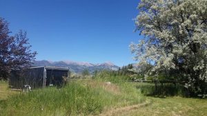
Sacagawea Peak in the distance, as seen from our house. “Manries.”
Once back home we mended our rock-climbing wounds (or rather I did, Tristen’s skin protected him).
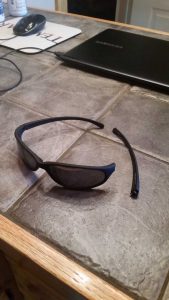
And then went about trying (but failing) to repair my sunglasses.
And then we did a bunch of mundane stuff, like dishes and laundry. Though I think I might have went overboard on the dish soap.
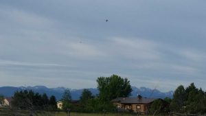
After that we chilled for the rest of Sunday evening. Then, on Monday morning we got up and around like normal, except we’re still running outside since the treadmill is broken. While it was still pretty chilly during my run – about 42 degrees – I did get to see a hot-air balloon (and a plane, which I didn’t even notice when I took the photo).
I’ve seen a hot air balloon in that vicinity several times now, I don’t know if its the same person or not (maybe it’s a tour), but either way they tend to be out fairly early (before 7am).
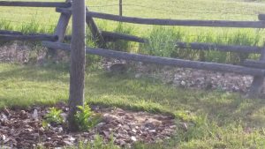
When I made it back home my doorbunny was next to the fence.
And then later once I was ready for work, my doorbunny was waiting under Moose for me.
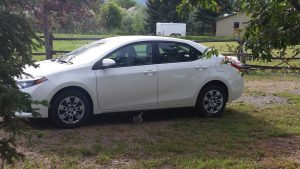
Doorbunny seen here in a mid-scratch.
And then I left for work! I have some exciting stuff coming up this week, mostly prominently a two-day work trip to the Blackfeet Indian Reservation and then the arrival of Meem on Friday. But, I’ll save that for an upcoming check-in since I’ve grossly exceeded my word count on this one! Still, it’s hard not to share all the wonderful hiking Tristen and I have been doing, especially when you hike to the summit of a mountain (especially the highest mountain in a range – as Tristen wants me to remind you).
Until next time,
-Taco
