Greetings and welcome to Dinosaur Bear!
This marks my third 2019 Spring Blurb (here are Blurb 1 and Blurb 2 if you missed them). This time around I’ll be focused on a sort of localized adventure as SB and I explore southeastern New Mexico. So let’s get started!
For this adventure we knew we’d be doing a lot of walking on rough terrain so we finally invested in some proper hiking boots.
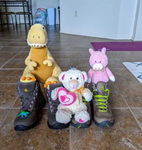
This was long overdue – especially considering that I once hiked up a snowy mountain using office shoes (not a great move in hindsight, but like most things I powered through it). We had planned a three day, two night trip and our first destination was the famous Carlsbad Caverns. Our trip began on an unusually cool and cloudy Friday (both Friday and Saturday would end up being mostly cool and cloudy) and in order to get to Carlsbad we had to first go into Texas.
Yes, you are correct, Carlsbad is in New Mexico, but logistically it made more sense for us to go into Texas first to get to it – and the trip was still over 3 hours even then. A lot of the drive looked pretty much exactly as you would expect it to.
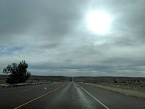
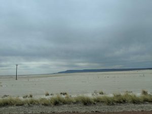
Though at one point we did suddenly cross into a rather large salt flat, which was pretty neat.
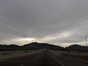
After lots of driving we eventually made our way up into the Guadalupe Mountains.
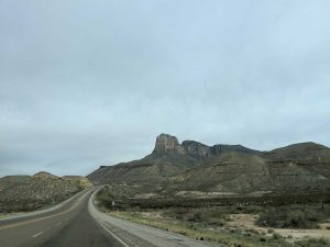
That prominent peak you see is “El Capitan.”
From there we continued on to Carlsbad National Park. Now, you might have a mental image of what the above-ground part of Carlsbad looks like. If you are like me, this is not what you are expecting:
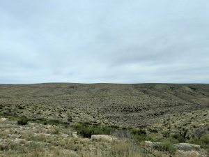
But yep, that’s it! The photo hides a massive cave entrance and over 30 miles of caves (and that’s just Carlsbad, there are 117 known caves in the park itself, one of which, Lechuguilla Cave, has nearly 135 miles of passages – though these are much smaller than those of Carlsbad and not accessible to the public). Fortunately there’s a nice big visitor center to keep you from getting to lost – well, that and the fact there is only one road out to it. 😛
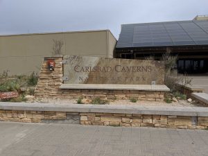
The way Carlsbad works is a bit different than a lot of national parks. There is no “car gate fee” – or a car gate at all. Instead you pay per person if you want to enter the main part of the caves via self (or audio-guided) tour. Then there are additional Ranger-led tours that cost more (but not very much at all, we paid $7 a person) and are smaller/small groups led by a ranger. These secondary tours need to be booked in advance because they sell out really fast (we booked ours over 1.5 months in advance and some were already nearly sold out). Our booked tour only had one time per day and that single time only had 10 spots so it’s easy to see how they sell out.
On getting down into the caverns, you have two options. These can be very easily described as “on foot” or “via elevator.” One of which is far more difficult than the other. SB and I opted for the foot option.
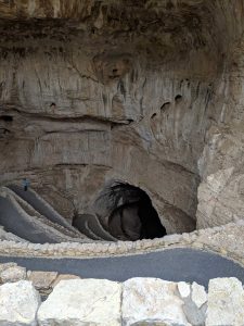
The primary “Natural Entrance” route that nearly all people who don’t use the elevator will take – us included.
The trail down into the cave was pretty magnificent and we are extremely glad we did it as opposed to the elevator where you miss a huge percentage of the main cavern.
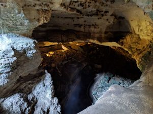
Along the path the National Park Service has set up some pretty badass lighting that really accents the cave well.
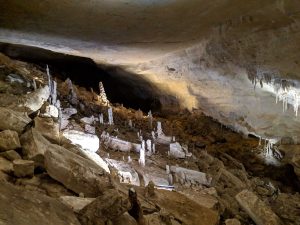
This is of course not only a cool effect, it actually becomes necessary as you quickly leave the waking world of light behind you.
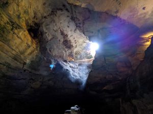
Soon after that things start to get a lot more dark and a little bit spooky. 🙂
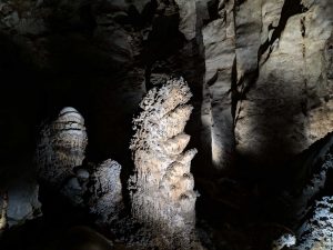
Fortunately the Natural Entrance Trail only had a few spots that I’d say were really dark, most of the time you have all the nice accent lighting to help guide you.
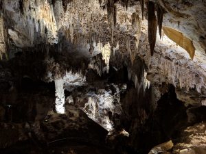
At one point the trail goes by the so-named “Iceberg Rock” because, well, it looks like an iceberg. It fell from the roof of the cavern and weighs over 400,000,000 pounds – almost as much as SB. [Tristen insisted we make that joke.]
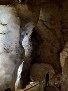
A portion of the Iceberg Rock is that huge thing on the left – person for scale.
Deeper into the natural entrance you come across the “Boneyard” area. A Ranger later explained to us the scientific reasons for the formation, but I think it looks really cool even when you remain ignorant of how it formed.
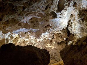
Once you make it to the “bottom” (scare quotes because there is a whole lower cave system under the cave system us tourists can visit) you join into the “Big Room” area (main area) of the cave and just beyond that is the area where the elevators let out. Here is a little oasis of civilization, bathrooms, and food.
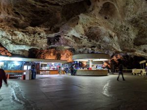
This area, effectively known as the “Lunch Room” deceives you into forgetting that you’ve just hiked (or elevator’d) down 750ft into the earth. At this point I made use the underground restroom (nicer than most gas stations) and then SB and I decided to take the elevator back up.
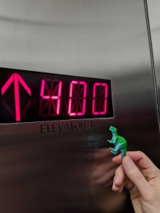
Pigsten highlighting the ascension monitor.
Now I really wanted to hike back out, for manries. However we needed lunch and we needed to be back up at the surface-level visitor center for our Ranger-led tour. Based on a bunch of calculations, time restrictions, and our will to sprint up very steep trails to the surface, we decided that in order to be most comfortable time-wise we needed to take the elevator back up. This was easy as the caverns were pretty quiet (apparently the queues for the elevators get long in the peak months) but more on that in a bit.
So we made our way back to the surface in a fraction of the time it took us to get down, had lunch at the visitor center, then met our Ranger for our small-group tour of “Left Hand Tunnel.” This tour was limited to 10 people – though 2 people didn’t show up so we were only 8 (9 including the Ranger). The main reason we chose Left Hand Tunnel was because the tour is conducted via lantern, and not electric lantern, not oil lantern, but candle lanterns (I had done a similar tour at Mammoth Cave, albeit not with candle lanterns, when I was younger).
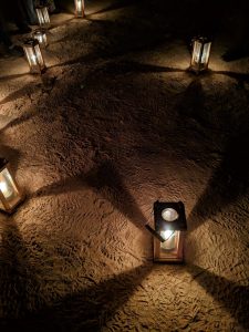
Needless to say the lighting was not ideal for photos, especially when you consider that I had to keep moving to not get taken by the whatever monsters lurk in the blackness (at one point after we were done my Dad made a joke about The Descent via text message, and I’d be lying if I said hadn’t thought about that very thing – though I was kind enough not to mention it to SB who is, how do I put it, more apt to being a’feared than I am. 😛 ).
Still though, very dark conditions + movement considered, I’m pretty pleased with how our phones’ night sight mode worked out.
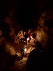
And if you were wondering what the area behind me looked like (I intentionally put myself at the very back of the group going in for better photos) this is what was behind me:
Fortunately there was no reason to worry, as trusty champion-of-all-things rocks, Pigsten, was with us the whole time (and Broli too).
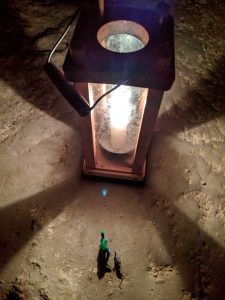
After a wonderful tour of Left Hand Tunnel led by the awesome Ranger Laurel (who interestingly enough had started at Mammoth Cave) – I am sort of infatuated with Rangers, they are basically my most favorite people in the world – we headed out on our own again to explore more of the self-guided area of the main cavern.
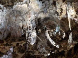
Based on the time of day, it was starting to get very quiet in the caverns, and while we did met a few groups on the trail it was mostly just us and the spooky rock monsters.
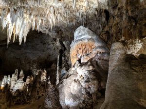
The whole complex was pretty amazing and I’d never seen anything like it before.
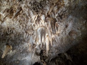
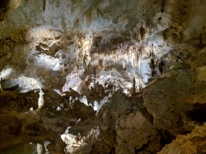
Even though the main route follows a set loop, it’s still hard to convey via text and pictures just how massive that one single part of the caverns is.
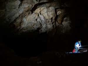
At one point we came across the so-called “Bottomless Pit” which is actually “only” about 140ft deep (originally explorers tossed rocks into it and – never hearing the rock hit bottom – assumed the pit was bottomless, turns out that the bottom is just covered in a layer of soft dirt which muffles the impact). Here we found someone doing a controlled descent into the pit which was pretty cool to watch.
After that we started looping around back to the way we came, though the return trail is on the opposite side of the chamber so it’s mostly all new views.
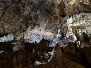
We peaked our head into a few of the darker corners, as you never know what you’ll see.
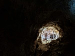
There were even a few cave pools to cross over along the way.
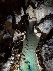
After that we were nearly at closing time for the caverns so things were essentially deserted, so we made our way back to the surface world where the visitor center was still decently busy (point of note: the caverns close earlier than the visitor center).
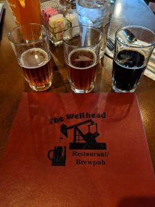
From Carlsbad Caverns we made our way up through Carlsbad (city) to the small oil-town of Artesia. We’d chosen Artesia because it was far enough away from the national park to make lodging prices not be insane, but also because of the really good reviews we’d found for the Artesia Heritage Inn. After a bit of chaos and confusion over seemingly no-one actually being at the Inn (there was, it just took us a bit to get their attention) it ended up being a wonderful place to stay. For dinner we headed across the street to The Wellhead, a pub which really embraces the town’s oil culture (meanwhile Pigsten drove a truck carrying some sort of generator/device around the square seemingly dozens of times).
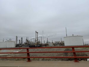
And I do mean it’s an oil town, as this was only a couple blocks down the street from our hotel (and so the whole town smelled like crude oil):
The next morning we headed north toward Roswell, and boy that drive was about as scenic as you could image: pure unadulterated natural beauty.
Now if you are wondering why we were going to Roswell, well, yeah, the aliens.
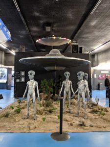
To be fair SB’s paternal family did once live in Roswell (so maybe they too are aliens?) but it’s a tenuous connection, so yeah, give me those ETs. So here I would usually recount the entire history of the the Roswell UFO Incident, and it’s a really fascinating story. But since I’m just trying to recap our trip, not turn this into a ufology blog, I recommend reading this article if you want a more skeptical take on it, and this article if you want something a bit more in the middle ground, but not quite in I WANT TO BELIEVE territory.
The museum in Roswell, fully titled the International UFO Museum and Research Center, is honestly not as cheesy as you might expect. I mean, there are definitely some bits of tangy-cheese to it (namely the photo-op props), but on the whole they’ve tried to make a respectable institution out of it. There are some interesting bits about “ancient aliens“:
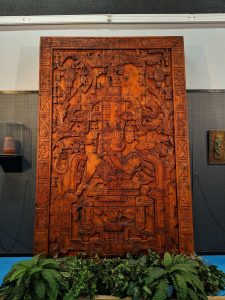
A replica of a Mayan sarcophagus that supposedly tells the story of an ancient astronaut/alien.
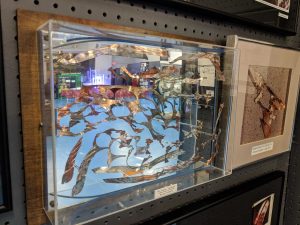
And a bunch of stuff about UFOs in general and of course loads of material about the Roswell incident, including literal materials supposedly modeled from the crash itself.
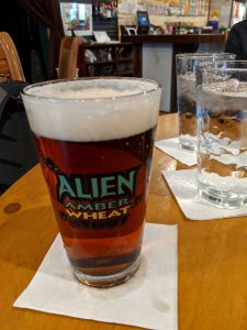
After partaking of the museum (which is very reasonably priced at $5 a person) we made our way over to Pecos Winery + Bistro for some lunch and drinks. I had to get some UFO-themed beer (naturally) while SB went with some local wine (also alien themed) and she liked it enough she picked up a bottle for home (and I some beer).
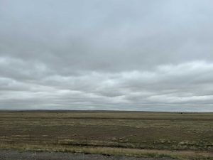
After that we left Roswell behind and made our way west, back out into the open plains of essentially nothing unbridled God’s majesty.
However, before too long we found ourselves working our way into the foothills of the Sierra Blanca mountain range.
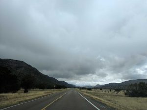
Our next destination was the infamous wild-west town (now unincorporated community) of Lincoln; hot-spot in the Lincoln County War of 1876-1879 and stomping ground of Billy the Kid.
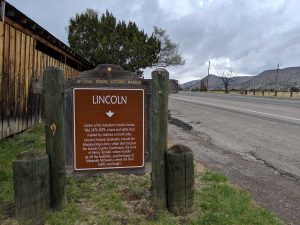
The whole of Lincoln (which isn’t much) is now a historical district, so the “town” (which is honestly just as much a state park as an actual town) consists of a bunch of different historical buildings you can visit. There is also a nice nature trail which takes you down behind the town to the “Rio Bonito” – so SB and I were sure to check that out.
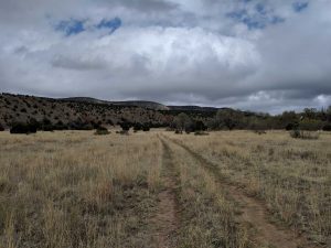
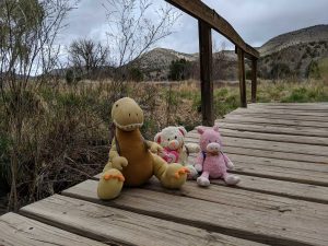
If you can’t tell from the photos, it was a quite chilly and windy day. Fortunately the weather had called for rain and snow (yes snow, we had gained a lot of elevation) and it ended up not doing much of that, so were lucky on the whole. The cool air didn’t stop the Boys (i.e. Tristen) from joining us on our hike though (toted in a Bónus bag no less).
One of the highlights of the town is the courthouse/(then) temporary prison from which Billy the Kid (William H. Bonney) made his famous escape and killed two deputies.
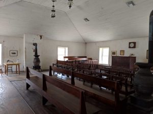
This is the area in which the Kid (Bonney) was held – not much of jail now, and not much of a jail then either as the town had no proper jail at the time.
My personal favorite part of exploring the courthouse is the stairway where the Kid (Bonney) shot and mortally wounded Deputy James Bell.
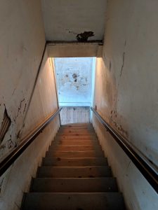
If you look closely you can see the spot on the lower wall (bottom of the staircase) where the bullet hit after striking the deputy. In the process of his escape the Kid (Bonney) killed both deputy James Bell and soon after deputy Bob Olinger. There are markers were both deputies fell (Bell staggered out of the courthouse after being shot at the base of the stairs – though he died only a short way from the back door) which was really interesting.
After taking in a lot of wild-west history (and getting our first ever hand-painted magnet!) we continued our way up into the mountains and the Lincoln National Forest – and the sun even started to come out!
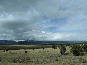
Our trip took us briefly through Capitan – which if you’ve read this blog post will help you understand why Valentino was so excited about that!
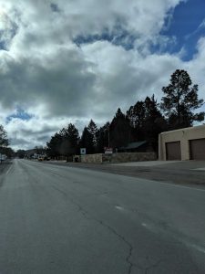
If you look very closely you’ll see the source of Valentino’s jubilation.
From Capitan we started heading southwest, further into the range.
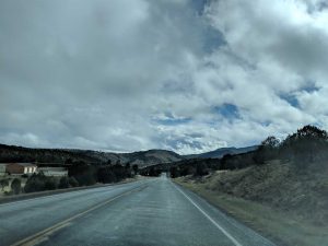
Along the way we made our way through past signs of an old wildfire – quite possibly the Capitan Gap Fire which gave “birth” to the real life Smokey Bear (which is what Valentino was so excited about, if you hadn’t figured it out by now.)
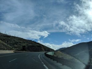
Just a ways beyond that was our next destination and lodging point, Ruidoso. There we stayed at the super cozy Sitzmark Chalet Inn.
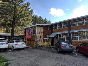
Ruidoso is apparently known as a “village” (which says something about my own hometown which has less than 1/3 the population of Ruidoso) that is well known for its mountain outdoor activities and skiing – lots and lots of skiing. We were a bit late for skiing (though the looming Sierra Blanca peak still had some snow on it) so things weren’t too hectic. We spent our first evening just chilling at the hotel and we went to the store and brought some food back to eat.
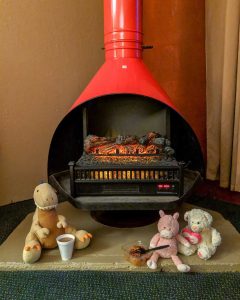
The Boys were a big fan of our coffee and pecan cobbler after-dinner treats next to the fireplace!
The next morning we headed out into town for a magnet (naturally).
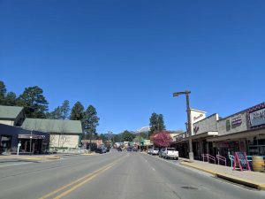
We then made our way further up into the mountains to go on a hike, in particular the “North Cedar Creek Trail.”
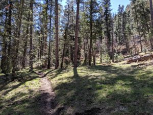
This was a thickly wooded trail, and even though it wasn’t too warm up in the mountains it was still pretty toasty when you were in the direct sun and working your way up hill – so the trees (and their smells!) were a welcome site.
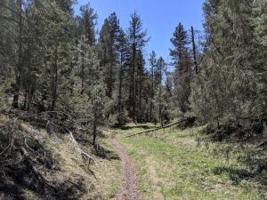
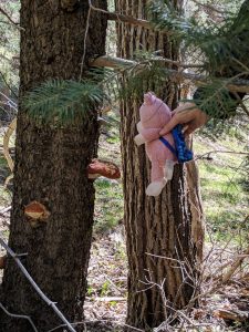
Along the way we saw lots of different plants and even a few animal friends (including animal friend traces, like poo! 😀 ) and Pig had a mighty hankering to eat some of the mushrooms we found.
The North Cedar Creek Trail is a “hybrid” out-and-back in that it’s partially a true out-and-back, and partially a loop. The steepest parts of the trail are toward each end, with the middle being the most flat. The hardest part of the trail is on the return, which takes you up to an old mining road.
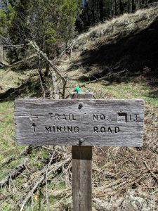
Pigsten and Broli shall guide you.
Portions of that trail got pretty steep and rocky, but nothing beyond what I would call “Moderate” – though if it was really hot it’d be a lot more rough as that part is pretty exposed.
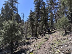
At the top of the “Mining Road” route there is a wonderful plateau area with some really good views of the surrounding range – and also lots of a photo ops.
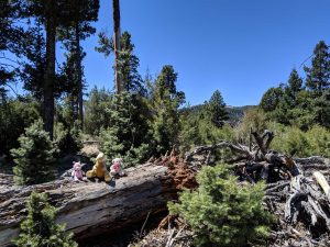
After we’d made our way back down to Felicia we headed back into town for lunch and coffee at Sacred Grounds (I love the play on words) which had nailed the mountain town aesthetic.
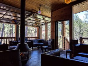
After that we departed Ruidoso, though on the way out of town we spotted a big castle which caused Tristen to have a major freak out before he calmed and down and realized that because he saw it, it was now his.
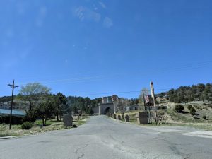
If you were curious why a mountain village in New Mexico has a castle, apparently it was originally a theater (movie or otherwise), then planned entrance to a community, then storage, now empty(ish). So we’ll just have to remain curious about that one, especially now that it’s Tristen’s.
On our way down from the mountains we saw the trees fade away to lower-greenery, and then that fade away to desert shrubs. Eventually we saw the looming expanse of the white sands off in the distance, reminding us that we do, in fact, live in a desert.
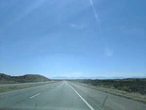
Along the way we saw that at lot of the pistachio trees had started blooming!
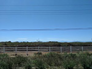
Fun fact: there are loads of pecan and pistachio trees out here.
We did make one quick detour on our way home that took us back up into the southern area of the Lincoln National Forest.
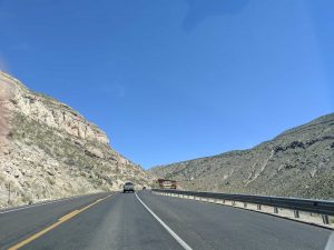
We wanted to make a stop at the “Tunnel Vista Observation Site” which is exactly what it sounds like, a viewing area just before a mountain tunnel along Highway 82. It had some truly marvelous views of the area.
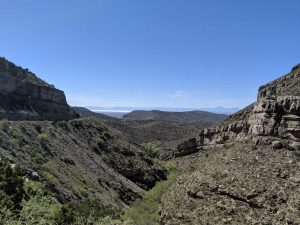
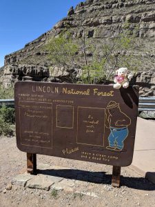
There is also some hiking to do there, but it was quite steep and SB and I were ready to get home and do those wonderful Sunday-after-trip chores and relax, so we passed on the hike. We were not, however, able to get away without Valentino first snagging a photo with the site’s Smokey Bear U.S. Forest Service sign. 🙂
After that we made our way back out of the mountains, into the vast desert, up into more mountains (Felicia didn’t like these as much, as the pass is quite a doozy), and then back down into the desert again to our home.
It was a great family road trip throughout southeastern New Mexico (and a small part of Texas) and we had a lot of fun getting to take in some natural beauty and local history. We also enjoyed all the yummy food and beer! One thing we were proud of on that note was how much we were able to focus on local businesses. With only one exception (Albertson’s in Ruidoso), essentially everything we supported was either a national park, a state park, or a local business – so that was pretty cool.
I hope you’ve enjoyed following along with our little adventure that took us into and under the wilds!
Until next time,
-Taco
