It’s time to continue my New Mexico Mega Post, be sure to read Part 1 if you haven’t already.
But first, I will say, I am about to rip my f*cking hair out over the image issues with this blog. With some help from Meem I recently solved one issue, the file size problem. Meem increased the image size limit to one that I should never use and, more importantly, I’ve also started compressing my images in mass. So that’s gotten rid of the “Image too Large” problem that clipped random images from a mass upload, leaving me to hunt through the images to find which ones were no longer there. However, the sideways image problem persists and it’s about to drive me insane. I have no idea how to fix it either. See, I’ve tried to fix it, in fact I thought I fixed it prior to uploading the most recent round of images, but NOPE. Sure enough 100s of damn images returned to being sideways as soon as they touched WordPress. Then, not only that, WordPress is kind enough to screw up the order, so now I have 100s of sideways, out of order images, thanks. It’s gotten to the point that image-heavy posts literally take be hours just to get ready to type (which then takes several hours by itself). If this doesn’t change then I am going to heavily cut back on images, because It’s absolutely stupid to deal with.
Ahem.
But I did take the time, the hours to get images ready for this post. So let’s get the next phase of this image-laden journey started shall we?
[Author’s Note: Most of the pictures in this post have been taken with our new camera, the ones still taken on my phone will usually be pretty obvious in comparison.]
If you remember from last time, SB had just arrived!
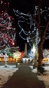
By the time SB got in it was well past Pig and I’s normal dinner time, so after letting SB get settled into the casita, we headed off to the Plaza for dinner! What’s cool is that a surprise was waiting for all of us!
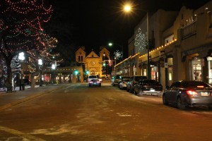
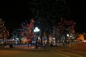
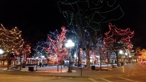
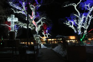
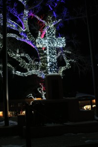
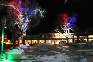
Cathedral Basilica of St. Francis of Assisi and the Plaza all lit up!
Indeed, I had never actually been to the Plaza at night, so I hadn’t seen these lights either.
It was really cool to see a different “side” of the Plaza.
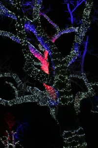
There were so many lights, yet somehow I failed to notice them all wrapped around the trees when I had been there in the daylight.
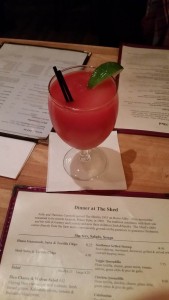
After gawking at the Plaza for a bit we headed over to The Shed, where we had 8:30 reservations. The Shed is on pretty much every “must eat at” list for Santa Fe, but it is also known for its margaritas. One cool note about The Shed is that its located at 109 East Palace Avenue, which is also where the “Check-in” office for the Manhattan Project up in Los Alamos (or simply “The Hill”) was. However, any remnants of the Manhattan Project have long since gone, other than a plaque of course.
SB and I couldn’t resist trying one of the margaritas, and while it was expensive, it was most likely the best margarita I’ve ever had, and it was most certainly the first blood-orange margarita I’ve ever had.
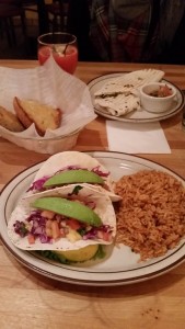
For dinner SB had a quesadilla, while I had some fish tacos (which had been recommended to me).
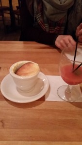
Then for dessert we couldn’t pass up a lemon souffle, it just sounded too good, and it was.
After dinner we meandered back to the casita, where Tristen was quick to demand his “manries” fire.
Of course, despite the fire being “Tristen’s” it was enjoyed by all.
For the rest of the evening we just chilled out in the casita and made plans for the next day.
Speaking of the next day, it started off decently early, but the boys were more than ready to embrace it!
We had to get out and about to drop off some postcards (which SB apparently had no idea how to fill out, but they still arrived – luckily) and pick up our rental car, Shiva!
We had decided to pick Shiva up on Saturday morning because the rental place was only open until Noon on weekends, and more importantly because it only cost 9$ per day to pick her up on a Saturday, as opposed to 32$ per day on Sunday, yes, seriously. Of course the final costs with taxes and fees and liability coverage was higher, but still it wasn’t bad.
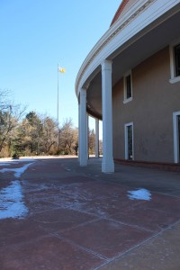
After gassing Shiva up and returning her to the casita for the day, we set off so that SB could see some Santa Fe sights, starting with the Roundhouse.
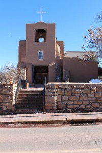
Of course it was closed for the weekend, but SB at least got to see the outside and peak in the windows. We also went by San Miguel Chapel.
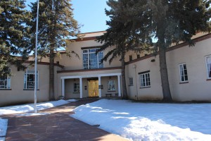
I then took SB to see the New Mexico Supreme Court’s gold-leaf doors as well.
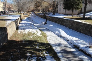
We passed over the mighty, roaring, massive Santa Fe river, of course.
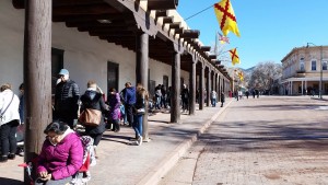
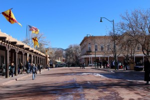
Which brought us to the Plaza.
It looked much more familiar to me in the daylight, without all the fancy and pretty lights.
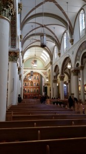
From there we walked over to the Cathedral Basilica of St. Francis of Assisi. So, remember how last time I was under the impression it was closed during the weekend? Well, I was either mistaken, the sign was lying, or it was actually closed when I was there. Either way, it was actually open this time, which we learned by watching for people to enter or leave the main doors.
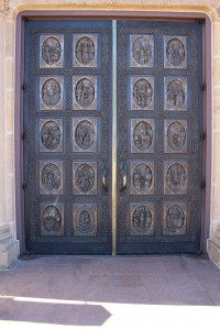
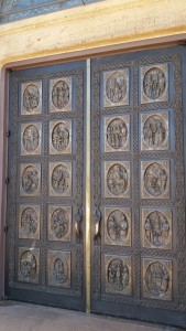
Speaking of the front doors, they were actually really impressive.
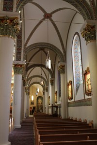
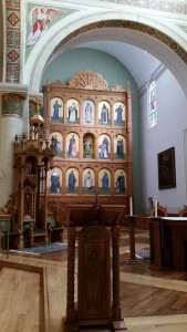
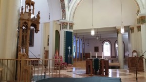
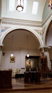
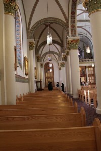
Of course so was the interior.
It reminded me a lot of some of the churches I visited in Europe.
I always really like how detailed churches like this are.
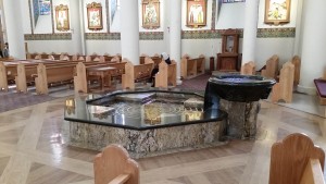
They even had a fountain in the center of the church.
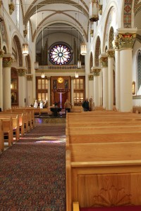
The woodwork and art was really impressive.
I liked how open the church was, pretty much the entire main floor was accessible.
As were each of the alcoves.
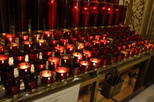
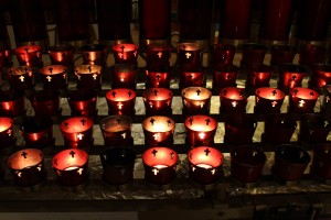
You could even buy a candle if you wanted.
There were quite a few of them.
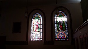
The alcoves also offered up some amazing stained-glass windows.
Church architecture in general tends to impress me.
And though I like the smaller, more cozy chapels just as well, there is something to be said for this grand style.
All in all I’m really glad we decided to try our luck at getting into the basilica, as I had sort of just assumed it would be closed again.
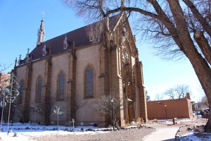
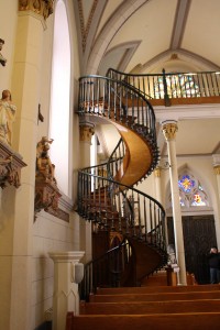
After checking out the St. Francis, we headed over to Loretto Chapel (whose staircase was previously explained in detail) so that SB could see it.
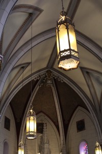
I actually stayed outside because I didn’t feel like tithing paying 3$ again, but I’m glad SB decided to go in, especially since she caught a couple of details with the better camera that I had missed with my phone, such as the lights.
Of course she somehow missed the entire story of the staircase 😛 , but hey, that’s what I’m here for.
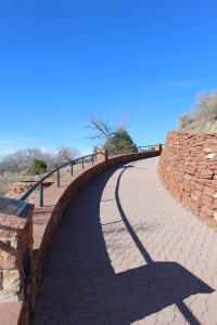
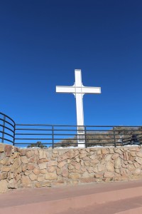
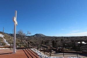
After Loretto Chapel I took SB over to Fort Marcy, so we could climb up to the Cross of the Martyrs and see Santa Fe from (slightly) above.
Without the excess snow the climb was much easier, though the weather was just as gorgeous as last time I was there.
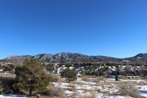
Since it was so nice, SB got some good views.
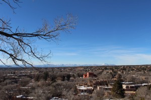
Notice that pink building? Keep that in your mind’s eye.
And we got to retrace Pig and I’s pioneering steps.
I actually enjoyed coming back, as I could see a whole lot more of the landscape than I could last time.
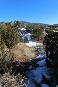
We even went to the start of the little trail that Pig and I had followed, which was now much less snowy, but much more muddy.
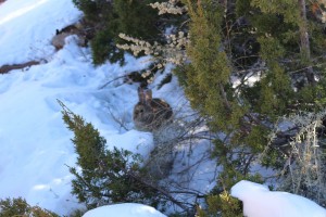
And while we didn’t go too far, we did meet a rabbit/hare friend named Bocephus.
While Pig had enjoyed the snow, he seemed just as thrilled about the mud.
Fortunately we kept the boys from getting too dirty, and instead kept them placated with exploring.
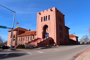
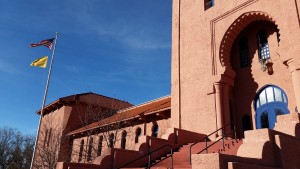
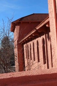
While up at Fort Marcy we had noticed the Scottish Rite Temple, which was modeled after the Alhambra in Spain (which SB had visited). Since SB was interested, and I hadn’t been up close to it yet, we decided to walk towards it, despite it appearing to be a good distance away. Fortunately, it really wasn’t that far.
Not so fortunately was that it was closed, so we couldn’t get in.
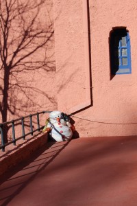
Though SB did notice a Snowman Guard sleeping on the job.
Despite not being able to get in, it was cool structure so I’m glad we went out of our way to check it out.
As soon as we were done there it was lunchtime, so we walked over to the Santa Fe Bite to get some food and beer.
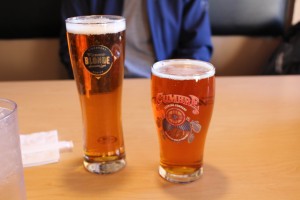
I went with a Guinness Blonde American Lager – Guinness Ltd. while SB went with either a pilsner a ipa from La Cumbre Brewing Co. (we don’t remember).
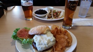
For food, I of course had a Green Chile Cheeseburger, which was awesome, while SB had some tacos.
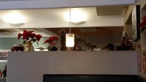
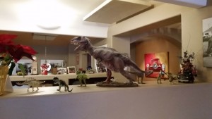
While eating we noticed that we were being watched.
Yep, those were dinosaurs – fitting consider the “bite” in the restaurant’s name. Tristen was pleased.
After parting ways with Tristen’s new friends, we decided to head a few blocks over so that SB could check out Canyon Road.
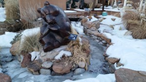
Valentino approved of the bears.
While a lot of the shops were closing since it was after 5, we still got to see all the good outdoor stuff.
SB got some cool shots of the art.
It was a neat area, I hadn’t explored it as closely last time.
The sun was starting to go down though, and it was getting cold, so we started to make our way home.
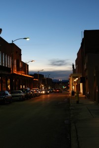
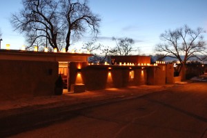
Along the way we stopped in and picked up that Zia beer huggie I’d been debating about. While walking back from there I was reminded about how cool (or “warm,” rather) Santa Fe looks during dusk.
Especially with all the farolitos.
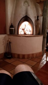
Once home we started up another fire.
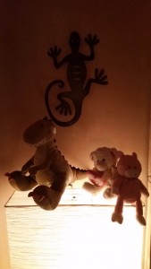
While the boys relaxed in various places.
But we all got to bed decently early because the next day we were up with the sun to load into Shiva and hit the road north to Taos!
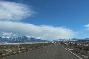
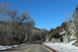
Since I’d flown directly into Santa Fe, this was my first time out of the city, and I was immediately impressed.
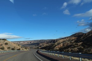
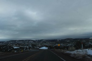
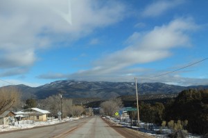
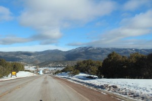
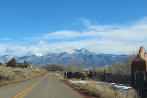
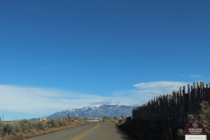
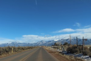
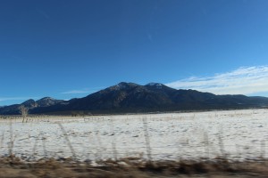
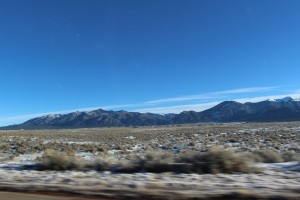
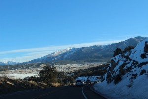
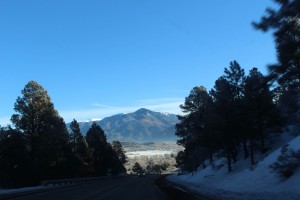
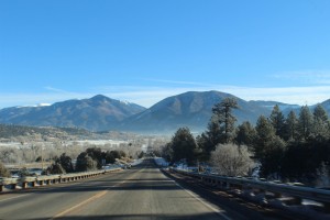
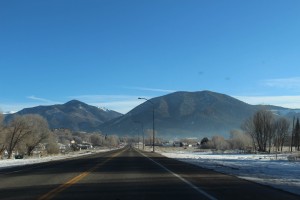
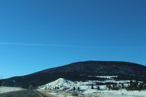
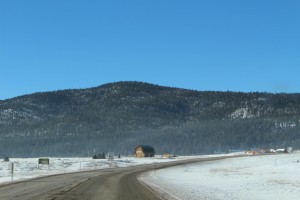
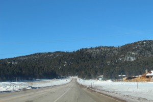
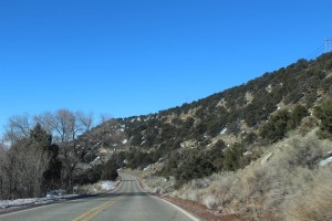
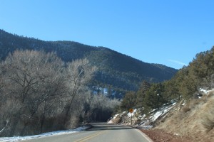
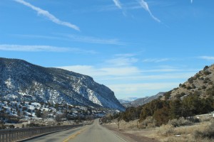
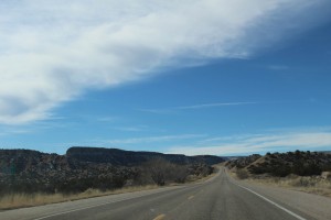
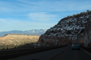
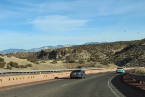
The mountains are on both sides of you in most parts of northern New Mexico.
Before too long we passed the iconic “Camel Rock.”
After stopping in a gas station to pick up some much needed cheap sunglasses, we soon made it to the “High Road” to Taos.
There are essentially two ways to get to Taos from Santa Fe, the “High Road,” which goes through more hilly regions, and the “Low Road” which goes through basins and follows the Rio Grande River. While people differ on which you should take to or from Taos, everyone agreed that you needed to do both, so we started with the High Road.
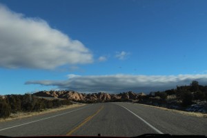
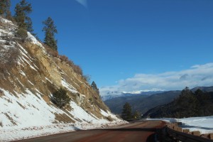
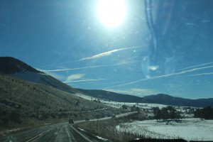
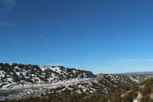
The contrasts with the sky were amazing.
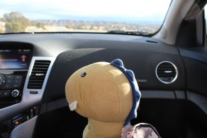
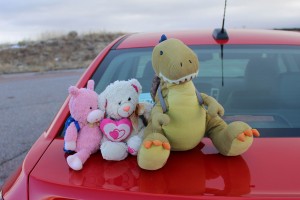
Tristen was claiming things left and right.
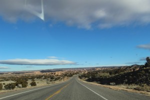
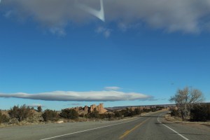
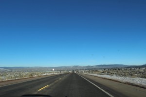
Even though I was driving, I had to keep bringing my attention back to the road, there was just so much scenery to take in!
Eventually we found a nice pull-over spot for some photos.
Since we were getting higher, we had caught with the morning clouds still stuck on the mountains, so it was actually kind of chilly here, but the boys didn’t seem to mind (obviously Valentino wouldn’t anyways).
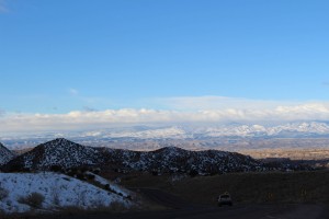
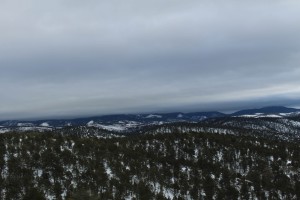
It was kind of neat to see the edge of the cloud cover out on the horizon.
As we progressed onward the cloud cover increased.
It was really pretty though, so we didn’t mind.
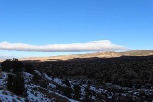
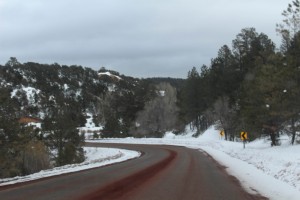
We actually got into a few valleys where a lot of the snow that had fallen recently hadn’t melted yet.
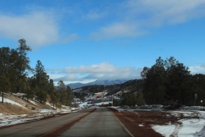
But fortunately the sun started to work its way through again as the morning clouds burnt off the mountains.
And while we did alternate in and out of cloudy and clear skies, the blue slowly started to win out.
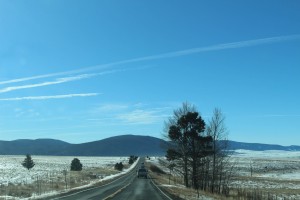
The road had a nice ebb and flow to it, with rises and falls along the way.
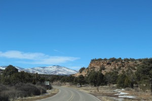
Although the here grades weren’t too steep, they did afford us some nice views given the landscape.
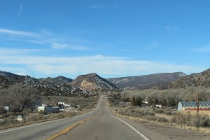
We passed through several small towns as we got closer and closer to the base of the mountains.
Eventually the road got into some rocky canyons, which was a cool contrast.
As was coming back up the other side.
Eventually we found ourselves in Ranchos De Taos, which is just a stone’s throw south of Taos itself. We had to pee – so we did.
Rather than proceed directly into Taos first, we then decided to go check out the Rio Grande Gorge Bridge, so we actually headed back south to get on a side road.
Even though we missed our turn at one point, I really liked the back road.
There weren’t many houses out there, which isn’t really abnormal for most parts of New Mexico, and I like that.
The mountains were almost in a 360 circle around us, it was awesome.
Eventually we made our way back to the main road, and then headed out towards the Rio Grande Gorge.
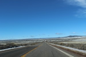
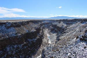
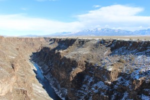
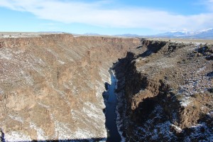
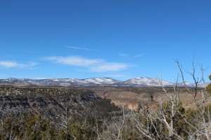
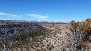
The Rio Grande gorge is actually in this photo.. somewhere.
Now, I have to say that no one had actually mentioned the bridge to us. Despite all the recommendations I had, no one said anything about the gorge. It was really only upon seeing it on a map that I decided we should go see it. But we did not have any idea just how big it was, until we were literally driving over it and it just kept going down and down.
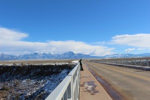
We of course stopped, which was easy considering that they had a little dirt parking area – but not so easy because it was covered in ice. The cool thing is that you can walk across the entire bridge, there were even some Native Americans set up and selling stuff at the west end of the bridge.
There were sidewalks on each side of the bridge.
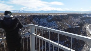
As well as some viewing platforms.
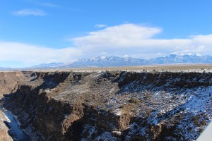
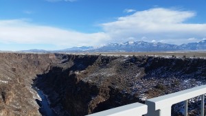
The views were incredible.
The mountains made up about 180 degrees of the horizon.
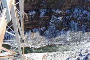
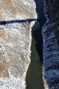
The Rio Grande itself appeared to have a pretty solid flow, despite the cold.
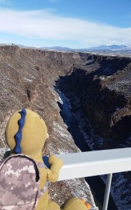
Looking down was an easy way to get vertigo.
But not for Tristen, of course.
After that we decided to head towards Taos for lunch! As with all things, the photos do the Rio Grande Gorge zero justice.
The road back had us facing the mountains, which made for a Terminator-like scene, except with real mountains.
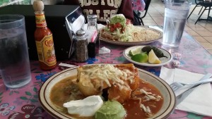
We had a tasty lunch at the Guadalajara Grill which had been recommended to me. It was quite yummy, and they had HUGE portions, these were half orders!
After lunch we decided to head out to the Taos Pueblo. The Pueblo is, understandably, near Taos.
I had heard really cool things about it, so we were pretty excited.
When we first arrived a guided tour was about 10 minutes away, so we kept close to the gathering area (the San Geronimo Mission Church).
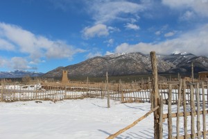
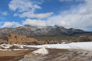
A view from near the main entrance.
SB continued to capture cool photos.
Soon enough the tour was starting, and although we gathered inside of San Geronimo, you aren’t allowed to take photos of the interior, so here is the courtyard for the church, which is where we started.
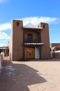
And then the front of the church itself.
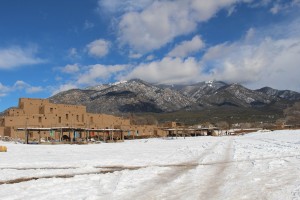
The church is located in a little “core” area of the Pueblo.
Though the Pueblo is actually more expansive than it initially appears to be.
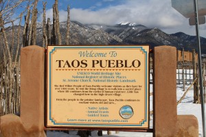
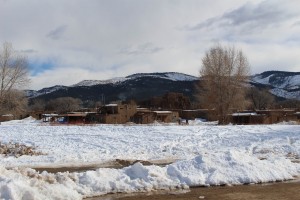
Even though it was pretty muddy, it was incredible to walk around an area that had been continuously inhabited for over 1000 years.
Many of the residents take advantage of the influx of tourists in order to sell us stuff.
We of course bought some noms, but more than anything I was really taken in by the views.
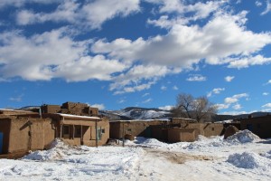
The Pueblo formed a large sort of semi-circle.
Then there was a slightly wooded area in the middle.
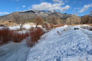
And flowing through the entirety of the center of the Pueblo was Red Willow Creek, which is the Pueblo’s water source (there is no indoor plumbing) and flows from a sacred lake several miles up into the mountains which is now closed to non-tribal people (interesting note: it was actually President Nixon who returned to the land to the tribe).
Anyways, our tour was conducted by a girl belonging to the tribe (Tiwa people) who was currently a senior in college and wants to go to medical school. We learned a wide variety of things about the Pueblo, ranging from history, to culture, to architecture.
We learned how they make and repair the adobe buildings.
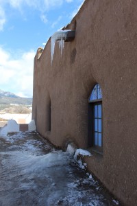
Notice the straw, which is used as a bonding agent.
Even though the Pueblo isn’t at full capacity during the winter (for practical reasons) its still home to several families year round.
The history portion of the tour was interesting, but somber.
However, you really don’t have to know the details to feel bad. Basically we stole their land and killed some of them and oppressed their religion, then eventually they rebelled killing some of us. So we returned and slaughtered them mercilessly (including burning them alive in the church – seen above) and then physically and culturally enslaved them, end of story.
If that doesn’t make you feel nice and good about yourself, I don’t know what will.
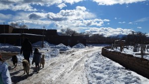
On a more positive note, the cool thing about the tour, in addition to it being led by a tribal member, was that some of the many dogs around the Pueblo decided to join us.
Then the gorgeous day didn’t hurt either.
But the Pueblo itself rivaled its surroundings, and I thought that it was way cool that we got venture throughout most of it.
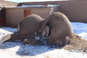
Including checking inside of the hornos (literally Spanish for ovens, as SB later told me) that are still used each day.
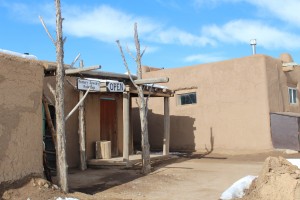
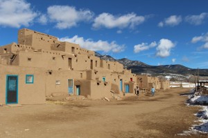
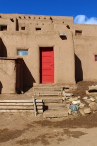
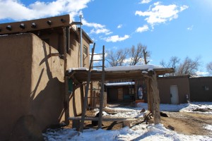
We learned that while a large portion of the Pueblo is original, there have obviously been modifications over the years, such as the modern doors.
And weirdly, these doors were about as “modern” as the Pueblo got.
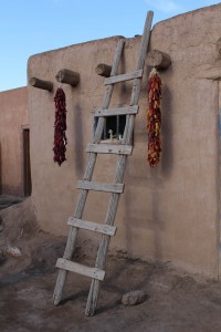
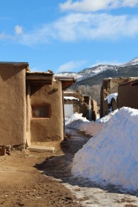
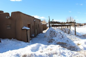
As mentioned, there is no indoor plumbing, and most areas have no electricity either. In fact, the upper levels of the Pueblo are still accessible only via ladder – there are no stairs. Unfortunately you can’t go inside many of the buildings, which makes sense since they are actual homes. However, by and large you are free to roam, and those areas that you aren’t allowed to go in are pretty well marked.
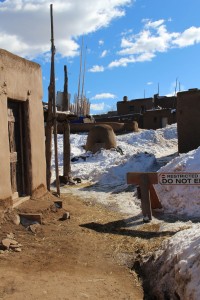
There were surprisingly few of the “No Go” sawhorses though.
By and large the outdoor areas of the Pueblo were open to exploration (and spending money in the handful of shops).
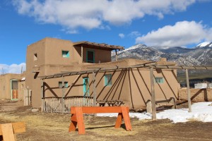
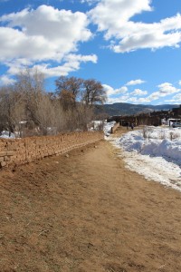
Although the Pueblo does extend outside of these old adobe walls, these former defensive walls outline the “original” areas of the Pueblo.
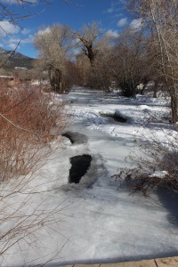
Red Willow Creek was partially visible through the ice.
We then crossed over to the eastern side of the Pueblo.
Which had some more homes and shops.
And seemed to extend up a small hill a good little bit.
There was even a gallery!
Which we actually didn’t go into, because we were horrified of being unable to stop ourselves from buying things (which happened later in Taos). So we headed back over Red Willow Creek.
And traversed the mud back to Shiva and then headed into Taos to our hotel, the El Pueblo Lodge.
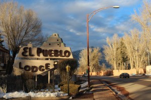
This photo was taken later in the day, thus explaining the lighting, I just put it here because it made sense contextually.
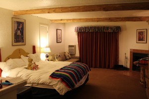
So now I’ll explain how we came to stay at El Pueblo Lodge. Quite simply, it was the H Connection. All one needs to do is search for Taos hotels (especially on a holiday weekend [MLK], like our stay) and you’ll find that all the centrally located ones are quite expensive. Yes, even the lodge where we stayed had rooms in the 175$ a night range. But we didn’t pay 175$, or 150$, or 125$, or 100$, or 75$. Nope. We got a “Family Discount” rate of about 60% off, despite not being “family.” Well, at least not family in the traditional sense. See, while at the AG’s office I met an HLS alum, who happened to have all like 12,000 connections here in the state, so simply by the fact that we were both HLS people, I got all sorts of Taos hookups, most prominently this hugely discounted hotel – and not only did we get a good deal, we got an upgraded room with a fireplace, noice.
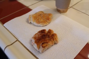
Anyways, after we got checked into the hotel and got settled in our room (and getting some coffee from the lounge area) we busted out the cinnamon sugar bread cookies we’d bought from the Pueblo!
These bad boys had been made in an horno just that morning, and they tasted like it. It was funny too, at 3pm the hotel serves cookies, so we had Tiwa bread cookies and then like 30 minutes later we had mass market chocolate chip cookies. But still, cookies are cookies. So, after a solid half hour of cookies, we decided to head down towards the Taos Plaza to see what was happening there. On our way we walked by yet another gallery (which appeared to be closed, but looked cool from the outside).
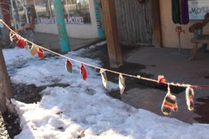
As well as some little-bitty mittens!
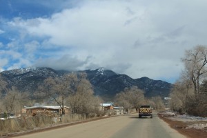
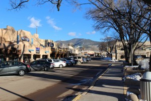
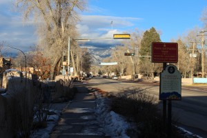
As we made our way towards the Plaza, the “Taos-feel” definitely began to come out.
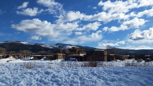
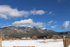
The mountains loomed strong on two different sides of the town.
Before making our way into the Plaza itself, we stopped at World Cup Coffee, which had been recommended, and rightfully so – it was awesome.
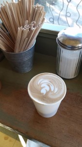
I had a mocha mixed with orange zest, it was extremely good.
You could tell World Cup was a very “local” place, there were a lot of people there all mashed in, and none of them really bothered to move for anyone coming or going. The place was also full of anti-establishment/anti-capitalist propaganda, which I suppose fits with coffee shop histperism anymore. Once we had our warm and yummy coffees in hand we proceeded on to the Plaza itself, which had some cool artwork in addition to a myriad of shops.
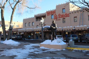
There was a La Fonda here as well, just like the La Fonda in Santa Fe (the Santa Fe location has existed for a long time and was where Manhattan Project scientists often came down from “The Hill” to drink at – though not too many drinks, special agents in plain clothes moved around the bar continuously listening for a “loose lipped” scientist).
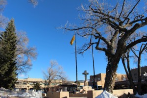
Based on the cold and the time of day, the Plaza was actually pretty quiet, not that we minded.
It was a cool little area, and we noticed a huge numbers of lights, so we decided we’d come back after dark.
We also checked out a couple of the stores and picked up our trademark magnet for the town.
Stores pretty much lined every inch of the Plaza.
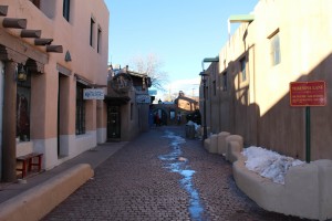
But they also extended down cool little side alleys.
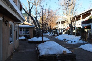
Which opened up into even smaller “Plazas” of their own.
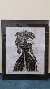
It was here that we stumbled into a locally-owned gallery, where not even our poorness could save us from buying a La Catrina art piece from a local artist.
After that we decided that we probably needed to save our wallets and head back to the hotel.
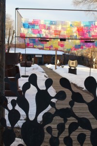
We passed by the funky gallery again, this time noticing the cacti (Little Friend) gate.
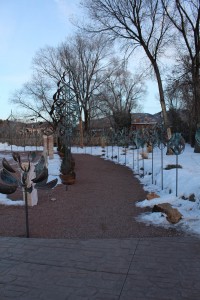
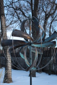
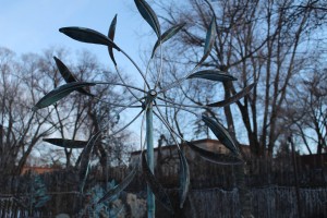
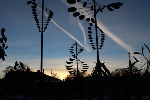
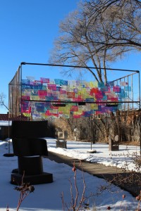
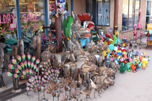
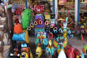
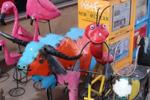
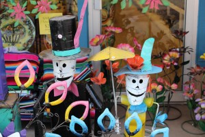
This time we also stopped to take some photos of some metal art we had passed earlier.
There seemed to be a wide variety of themes represented.
From insects and animals.
To Día de Muertos.
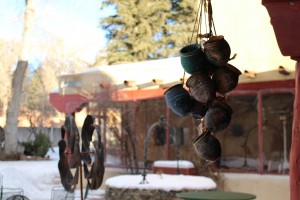
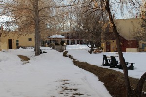
Once back at the hotel we checked out the grounds a bit more, both to take them in and to figure out the best way to get to the hotel’s breakfast in the morning (which turned out to be AMAZING by the way).
I really like the Southwestern theme in general, so it worked well considering we were, you know, actually in the Southwest.
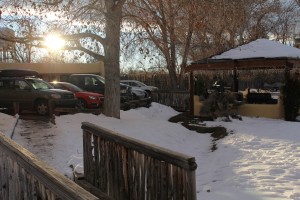
Though everything was snow covered or muddy, it seemed like a nice place.
And there was plenty of parking to boot.
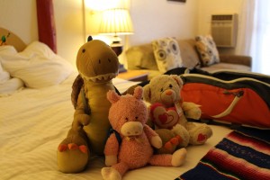
We headed into the hotel room and the boys took off their traveling gear for the night.
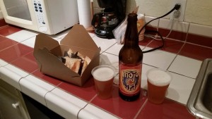
We then headed up the road to a El Prado, Tao’s northern mini-town (like Ranchos de Taos to the south) and got a bottle of beer to share later (Mojo IPA – Boulder Beer Company), while at the liquor store the women were watching the playoff game between the Broncos and the Steelers (with the Broncos obviously being the local favorite). From there we headed back into Taos and then went for dinner at the Taos Ale House, which was convenient since its right across the street from our hotel. We placed our order at the bar then found a corner spot to scrunch into with our beers.
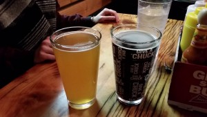
Sadly these beers have been lost to time.
It was SUPER packed for a bit, which was obviously because of the NFL game.
While I was happy to have it clear out a bit, it was fun watching a game in “home country” which never really happens for me, since I haven’t liked the NFL teams of either place I’ve lived long-term. Oh and the Broncos won, which was even better.
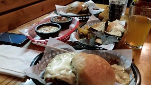
Our food was greasy goodness, with me going for a Green Chile Cheeseburger yet again!
Once we were done with dinner we walked out to where Shiva was parked and drove down to the Plaza (no point in walking since everything was closed and it was cold now) to see the lights. It was a well worth the trip.
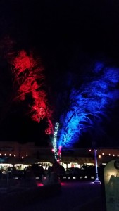
Red white and blue was definitely the name of the game.
While I don’t think Taos had more lights than Santa Fe, I think their lights were more concentrated.
I really liked the contrast between bulbs and accent lighting.
It kind of had a slight Christmas-undertone, which made me wonder if the lights change throughout the year, or if they just cover all their bases at once.
The whole trip was made even better by the nice big moon above us!
Once we were done seeing the lights we drove back to the hotel where we relaxed for the rest of the evening.
Tristen and I did epic battle with the fire, which we finally got to burn properly, and eventually everyone got just hungry enough to bust out our leftovers and have our beer.
Not too long after that, it was sleepy time!
Which made sense, because we had yet another early morning ahead of us. In fact, we were once again up with/before the sun.
The plan had originally been to head down to the Bandelier National Monument, then from there to Los Alamos, and then finally back to Santa Fe – which would have been a day in and of itself. However, me being me, I got to reading (one of the magazines at the hotel) and learned about the “Enchanted Circle.” Now, aside from sounding like a pedophile village, the Enchanted Circle is actually pretty cool. It’s an ~85 mile “scenic byway” around Wheeler Peak that goes through ski country and towns such as Questa, Red River, and Eagle Nest, it also goes by Eagle Nest Lake (one of the few big lakes in New Mexico) but that was frozen and snowed over at the time.
I decided that we had time to drive the Enchanted Circle, we’d just need to get up early – but since we were already planning on getting up early it really wasn’t that big of deal. So, after waking the next morning we headed over to the main lodge for some continental breakfast. Turns out that this was a GREAT choice because the breakfast was AWESOME, easily restaurant quality food and enough variety to put most hotel chains to shame. After breakfast we wrapped things up, checked out, and then were on the road again!
Our luck with the weather had continued into the next day.
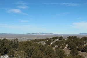
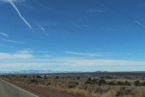
The trip starts you off in the “plains” area where the Rio Grande Gorge is at.
However, rather than heading towards the gorge, you instead start slowly creeping towards the mountains.
Before too long we got back into the foothills (if we ever actually left them – remembering that even the “plains” here are like 6000-7000ft above sea level).
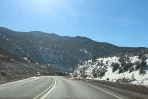
After a bit we started getting right up next to the mountains.
There was quite a bit of green in this area.
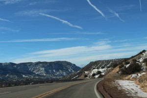
The sweeping views never stopped impressing me.
There was a faint fog in the valleys, which only added to the beauty of the area.
Eventually we came into the shadow of the larger mountains, likely one of: Pueblo Peak, Lobo Peak, Relica Peak, or Wheeler Peak (highest point in NM at 13,159′).
We moved in and out of the shadows for a good while and the temperature fluctuated quite a bit too.
Although SB was battling the windshield when it came to focusing the camera (she is still learning its fancy features), some of the shots came out really cool.
Intermixed with the mountainous areas were huge plateaus.
SB and I kept commenting on how much the landscape in New Mexico changes in such a short amount of time.
During some parts of this portion of the trip we were going pretty slow because we got behind a rich-people ski bus, but we weren’t in a hurry and plus the bus went like 75mph downhill.
In fact in most areas the bus was going much faster than I had any desire to.
But by and large, traffic was essentially non-existent.
We passed a lot of areas that were clearly ski-oriented.
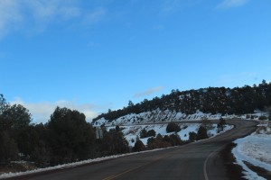
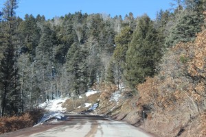
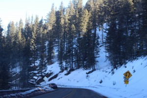
Eventually you leave the “better” road and get on a smaller, more curvy road.
Its pretty easy to tell once you’ve journeyed onto the “road less traveled.”
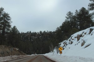
And while it had been listed as in bad condition about a week ago, this stretch of the road was nice and clear at this point.
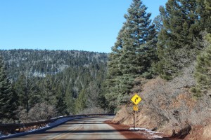
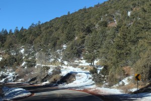
Which was good, considering the (millions of) sharp turns.
Some parts of this road reminded SB and I of Washington (state).
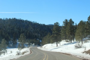
For good chunks of the strip there was scarcely a cloud in the sky.
If we had more time, and an off-road capable vehicle (no offense to Shiva), I’d have loved to have explored one of the many “Forest Roads” that branched off from the main road, but that seemed like a one way ticket to getting stuck and consumed by ravens, crows, and squirrels.
There was a smattering of “villages” along this road, I’d be hesitant to actually call them towns.
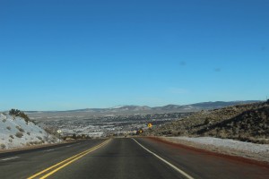
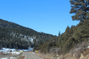
Around this point I noticed that we were going down, slowly but surely.
And while there were no huge grades, the descent did become fairly constant.
As we neared the end of the loop things opened up a lot.
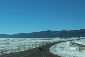
And before too long we had returned to the great flat-lands.
Although we passed south of Taos (we were now on the “Low Road”), we did notice the Rio Grande Gorge off in the distance, and also that the road was slowly approaching it.
However, what we didn’t realize at the time was that the road was actually descending down to the river, so no bridge this time.
Eventually the decline became much more obvious.
Despite this being the Low Road, it had its fare share of peaks and valleys.
Though we did slowly begin to leave the mountains of the “Enchanted Circle” behind us.
Meanwhile the road worked its way down towards the Rio Grande.
Despite this being a main “artery” for New Mexico, traffic was pretty light.
Not that I really minded.
Before too long the Low Road joined the Rio Grande.
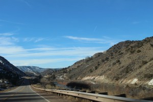
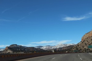
There were actually quite a few pull-off spots, but the curvy-downhill nature of the road made it really difficult to see them in advance – but SB was still able to get some good shots of the river as we drove.
Although the road never strayed too far from the river, it wasn’t always right next to it.
Believe it or not there is a river in them thar’ hills.
Told you.
This is pretty much how the road continued for a good bit, though the river did start to slowly ebb away from the Low Road.
And once we’d taken a pee stop in Española and passed through to the other side, the scenery once again began to change.
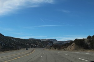
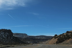
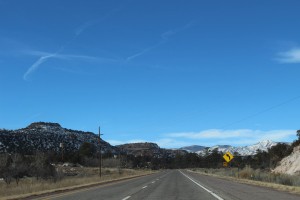
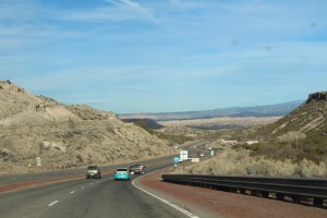
We’d ventured from evergreen mountains to the wild west in around an hour, one of New Mexico’s many amazing qualities.
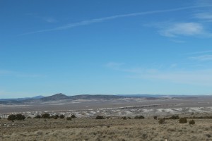
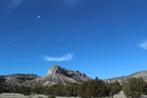
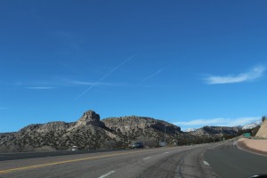
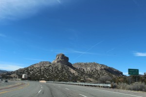
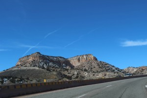
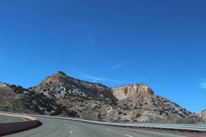
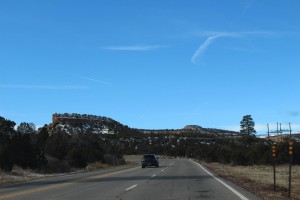
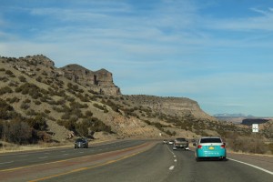
While these “mountains” weren’t of the same magnitude as those we’d just left, the geography in this area was much more mesa-centric.
And while this area wasn’t quite as green, I still really liked it.
There was just something peaceful about it.
Of course that might have had something to do with the fact that there is pretty much nothing people-wise there.
But if you know me, then you’ll know that I seldom have a problem with people-nothingness.
After a bit, the road enlarged by about 4 fold.
I didn’t know why at the time, but we later learned (on the return trip) that we were on the main (ok, really the only) thoroughfare to and from Los Alamos.
We’d apparently hit it at a pretty good time too, because there was still hardly any traffic (granted it was MLK day).
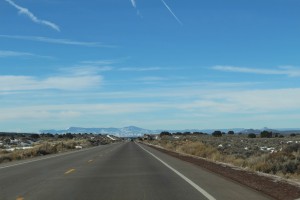
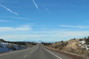
So we traveled on, wide open roads and wider open spaces.
Eventually though, we began to climb.
And climb..
And climb some more…
And then we plateaued.
It’s not obvious from the photos, but we had actually climbed up on top of one of the mesas.
The area was an interesting blend of rocky:
And flat:
Which in fairness kind of describes the entire state.
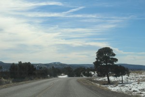
At one point we passed through White Rock, which seemed like a nice small town.
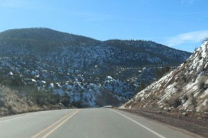
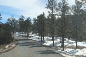
However, once we got to the other side of White Rock, the road reverted to a small mountain(ish) road.
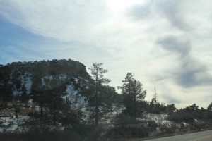
Some evergreens returned as well.
Again, we were actually up on top of a huge mesa, but also again: it was hard to tell that.
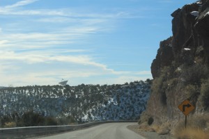
Although we had passed a few “Technical Area” signs for Los Alamos, it really wasn’t until we spotted a huge satellite nestled away in the hills that we realized how close we were to the infamous lab.
But that satellite wasn’t our destination (not that we could have gotten there anyways), we were on the road to Bandelier.
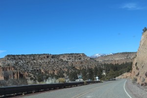
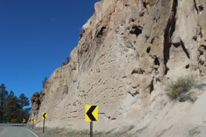
Around this time we noticed that the composition of the rock was changing (we’d later learn that this was actually hardened volcanic ash [tuff] from the eruption of the Valles Caldera 1.14 million years ago).
Before too long we got to the entrance of the Bandelier National Monument. I was all prepared for human interaction, but the entry Ranger’s station was closed and there was sign posted about it being MLK day and being free. I hadn’t mentioned it, but we actually shifted our plans around a bit after I learned that national parks/monuments are free on MLK day. Had we gone to Bandelier any other day we would have had to pay 20$ to get in. So, MLK day it was. I was actually expecting quite a bit of a crowd because of this free status, but it was actually pretty desolate (at first).
Shortly into the park (I realize its a “monument” but I’m going to call it a park henceforth) there is a nice pull off spot.
You can actually get right up to the canyon’s edge.
It was (obviously) fairly rocky up there.
But the views were great, you could even see one of the entry roads.
And it wasn’t too rocky for a Little Friend.
After heading on from the scenic view the road makes a sharp turn and then you immediately start descending.
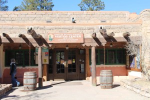
This road takes you down into the floor of Frijoles Canyon, and the whole area is part of the Pajarito Plateau. Here you find the visitor’s center and the start of the cliff dwellings.
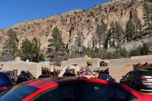
As well as a dinosaur, polar bear, and pig.
The visitor center definitely had a New Mexico style to it.
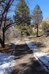
Once we picked up a 1$ guide book, we started on the main trail.
And it wasn’t very long at all before we came to the first of the archaeological sites.
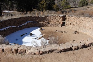
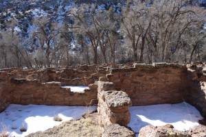
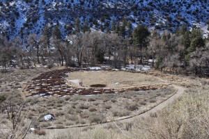
This area was once (or rather, still is) the Tyuonyi Pueblo, and the sites range in age from ~1150 all the way up to ~1600 – and the area was inhabited by the Ancestral Puebloans (kind of an “umbrella term”). The circular pit in the photo above is the lower remains of what was once a kiva. The formerly inhabited region was both along the floor of Frijoles Canyon and also in the canyon walls themselves.
Aside from being asked not to be a douche (which sadly most people are incapable of), you were allowed to roam at your leisure.
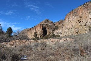
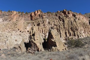
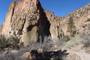
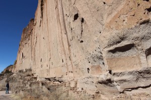
This next photo is a view of the cliff face, as seen from the lower “village” area.
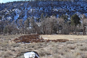
And then here is the “village” and seen from the base of the cliffs.
The path up to the cliff structures was cool in and of itself.
Although it was steep, this part of the trail was pretty safe and fairy simple.
The trail is actually in “stages” and you sort of progress higher as you go.
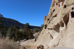
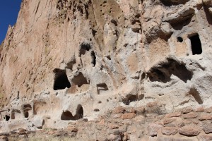
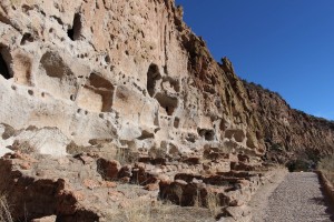
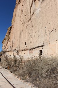
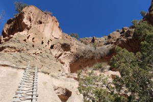
Before too long you come to the first set of houses (technically called “cavates”).
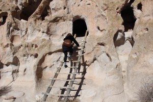
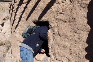
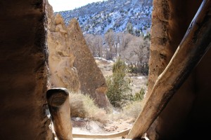
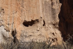
And the best part is that there are even a few cavates you can climb up into.
Even this first row of cavates is a good bit up the cliff.
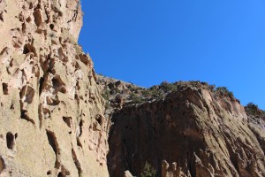
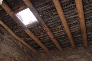
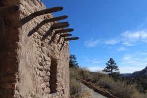
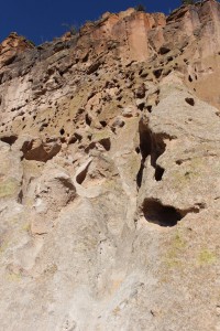
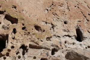
The houses are either carved into the cliff tuff itself, or built against the cliff with stone, adobe, and wood.
Despite being a cool day, it was pretty warm in the sun and against the cliffs, it was amazing how much cooler the insides of the houses were.
Although we’d been cold on the canyon floor, we were working up a sweat up here!
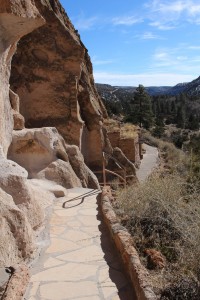
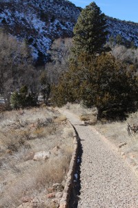
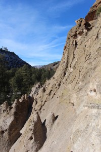
The trail sort of winds along the edges of the cliffs.
In most spots the trail was decently wide and accessible.
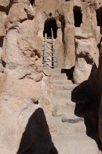
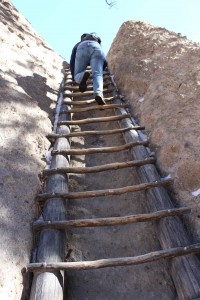
Though the only way to actually get into the houses was via ladders.
Of course whether or not to climb in wasn’t even really a question for us.
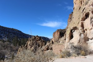
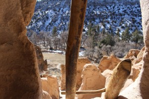
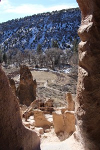
The houses had even better views than the trail.
Here is a view of the “village” for orientation purposes.
We even met some deer buddies!
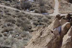
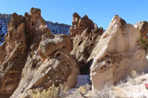
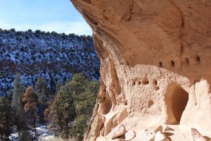
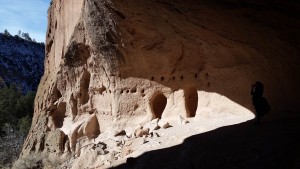
Around in here the rocks got a little more wonky and jutted out a bit more.
Which made some of the house placements even more impressive.
And made us even more anxious to climb and squirm our way up into them.
It was a really cool experience.
Here you can see the “village” again, as we move further along the cliff face.
However, the monument itself actually covers a 50 square mile area [though the trails obviously don’t cover all of that], so there was still plenty to see even as you lose line of sight with the central area.
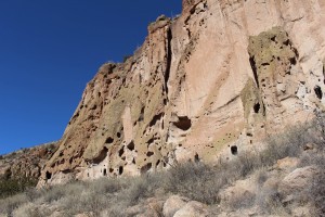
The structures, and evidence of former structures, are pretty continuous along the cliff.
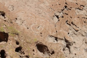
Around here was where the petroglyphs first became really apparent.
A closer look:
And some more, including what appears to be some happy people, probably prior to us coming and ruining their existence.
Once you pass a bend you come to the “Long House” which is aptly titled, since it’s a long series of interconnected, formerly three story high (in some spots) cliff dwellings.
The sheer number of cavates was incredible, there were so many they were sometimes easy to miss!
Plus, the sheer scale of the area was awesome.
Towards the end of the “Long House” the trail actually starts to level off with the canyon floor again.
However the dwellings/remnants of dwellings continue, including this one that actually had a painted surface at back of the house which was covered over at one point, then uncovered again during excavations.
Shortly beyond that was another big petroglyph. According to the guide book it was a macaw, however, we (Tristen) all know it was a dinosaur.
After the macaw dinosaur the trail heads back down into the wooded area of the valley.
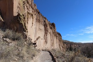
Looking back at where we had come from.
But the dwellings kept going, even once the trail pulled away from the cliff.
Right around this point I made the comment to SB about how good of condition these trails were in.
And almost as soon as I had finished saying that, the nice trail stopped.
See, the “main” loop from the visitor’s center is about 1.2 miles in total, and this takes you up near the cliff face and then follows a steam back to the visitor’s center. However, the star attraction of Bandelier is the so called “Alcove House” which is is about “0.5 miles” off the main trail, and the path there is a bit more back to basics (I say “0.5” because even though the sign said it was a half mile, it was definitely more than that to the house).
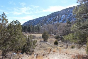
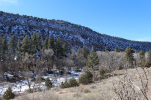
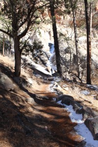
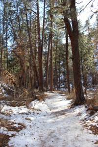
The upside to the lack of the nice path was that it was even more gorgeous back in here.
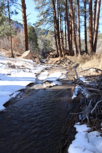
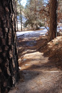
And to be fair, there was a trail, it was just mostly mud and snow.
There were a few people back on this trail, but less of them than I had expected.
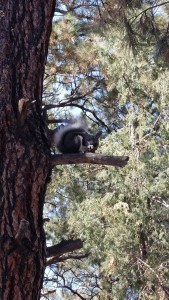
We did meet our first Abert’s Squirrel though!
Based on what a passerby told us, this was a pretty photogenic squirrel. After passing the squirrel friend the path rejoined the stream.
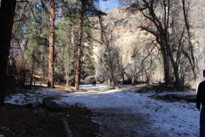
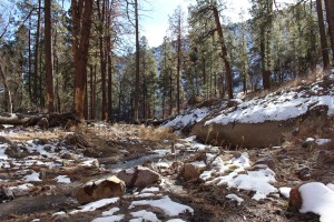
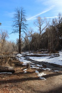
I was actually pretty thankful that the snow along the canyon floor hadn’t melted much yet, otherwise there would have been more mud.
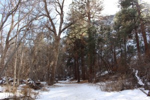
Even though it was still bright and blue out, it was much cooler down in this area.
And even though the trail wasn’t entirely flat:
We really didn’t have enough climbing (yet) to make up for the semi-blocked sun.
After more than “0.5 miles” the trail began to connect with the cliff again.
For a awhile it sort of ran between the cliff and the stream.
And shortly after that, it made a sharp turn and led straight into the cliff face.
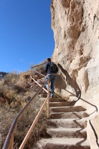
This was the start of the climb up to Alcove House, which sits 140′ above the floor of Frijoles Canyon.
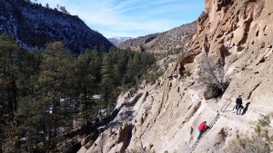
We gained elevation pretty quickly.
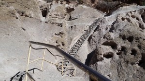
And although each ladder led to a little plateau of stairs:
These were not the same tier of paths as back on the main trail:
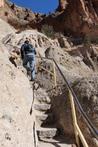
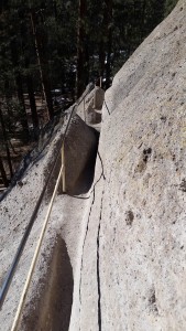
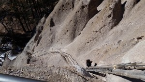
The handrails definitely helped with balance.
But the path was still really tight.
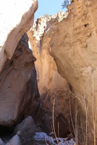
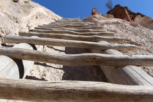
And the ladders were actually vertical in few areas.
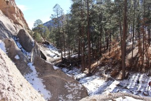
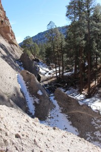
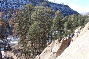
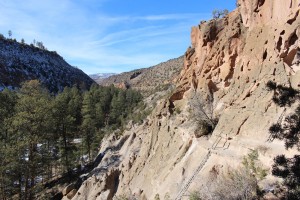
Fortunately there were places to stop and take in the view along the way.
And the views were definitely worth taking in.
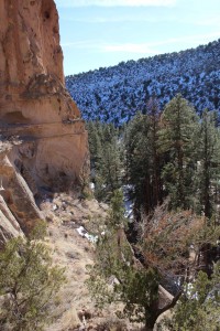
Once you climb for a bit, you get to a small terrace.
Which has some nice views of its own (and no handrails to block your view, haha).
And then from there it’s just a couple more short ladders up to the entrance of the Alcove House.
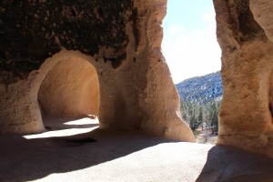
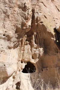
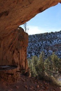
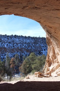
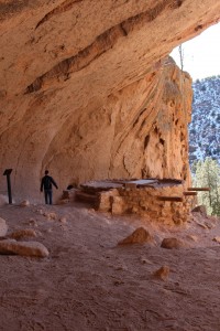
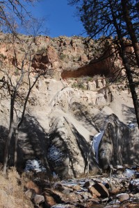
And it isn’t called the Alcove House for no reason, its both a naturally eroded alcove and there were/are dwellings within it.
It’s actually pretty cavernous.
But I can definitely understand why someone would choose to make their home there.
There were all sorts of little carve-outs and remnants within the alcove.
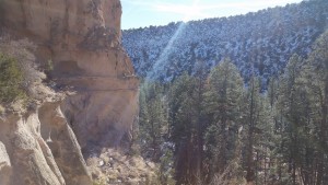
And the views were amazing.
Around this time some other people started to arrive. We had actually been really lucky in that we had gotten the place entirely to ourselves and the silence for awhile.
So we started making the trek back down to the canyon floor.
Going down was a bit trickier in a couple of spots.
And you can definitely see why they close the Alcove House when the cliffs get wet/icy.
But we safely made it back down to the bottom without issue.
Then started the “0.5 mile” walk back to the main trail.
The number of people was slowly picking up, but it was still pretty quiet back in here.
We also ran into our squirrel buddy again. I mean, I guess it could have been a different one, but it wasn’t.
After talking to squirrel friend for awhile we crossed back over the stream (actually the trail crosses it several times).
And then from there it was a peaceful walk back to the visitor’s center.
By the time we got back to the parking lot SB was pretty hungry, so we got some overpriced Forest Service food and then headed on our way. I’m glad we got there when we did, because the park was bumping by the time we emerged from the boonies.
We then drove Shiva back up onto the top of the mesa and headed through some quiet back-country and through some Technical Areas while on our way to Los Alamos.
We actually had to go through a security checkpoint prior to entering the town, which was unexpected, though maybe it shouldn’t have been considering that it’s Los Alamos. In case you didn’t know, Los Alamos the town is home to Los Alamos National Laboratory.
Which was of course home to, and founded as part of, the Manhattan Project in 1942.
Today, this mesa town of around 12,000 people [around 9,000 of which are employees of the lab] still hosts the lab, which does ongoing nuclear and defense-related research. It’s definitely a company town, which means it feels a little sterile, but everything is in good shape.
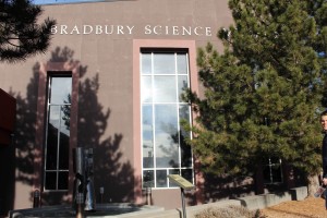
Aside from just wanting to go where the nuclear age was born, I also wanted to see the Bradbury Science Museum, which has the benefit of being totally free.
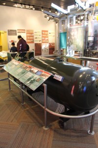
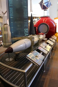
Here they house all sort of nuclear history and modern defense related goodies, such as a replica of Little Boy, the nuclear bomb which hit Hiroshima.
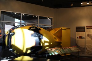
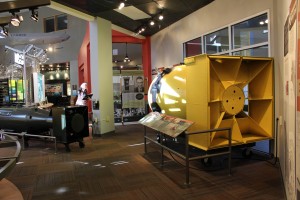
As well as it’s slightly younger, but much fatter brother, Fat Man, the nuclear bomb which hit Nagasaki.
Just a couple of nuclear bombs in a pod.
They also had more modern weaponry to check out.
Including some personal gear such as this bomb suit weighing over 100lbs.
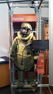
I will always think of these as “Bulldozers” due to a video game called “Payday: The Heist.”
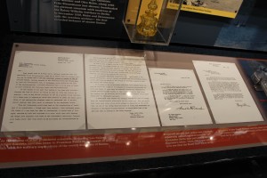
But the real highlights of the museum are all the historical relics of the Manhattan project and a 16 minute talking about Los Alamos itself.
In a comical twist, the U.S. Government essentially stole the site from private landowners, who had originally stole it from Native Americans. Chain of love.
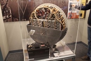
In addition to having working Geiger counters that you could play with, there were also some actual, non-replica pieces of equipment, such as this “arming device” which was used to arm Fat Man prior to it’s explosive plunge to earth.
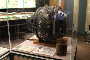
And then there were kind of funny little bits of history, such as this “stopper” in the lower right corner which rode with Fat Man while it was in transport and was really all that kept the nuclear fission process from starting – yep, that little plug.
After checking out the museum we walked up the street, obtained one of our crucial magnets, and then hit the road back to Santa Fe.
Even though we had to drop Shiva off by 5pm, we had made really good time, so we weren’t in a huge rush.
We got behind that “Tricare” car, so happy free advertising to whatever the hell tricare is.
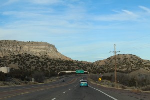
The descent on this “front” side of Los Alamos was substantial.
Of course this just made for great views!
In fact the views pretty much continued all the way down the edge of the mesa.
Eventually things started to open up and flatten out again.
Though the descent took quite a bit of time once we hit that gradual grade – it’s easy to forget how high you are out here!
Before too long we were saying goodbye to the mesas around Los Alamos.
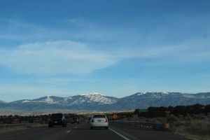
And hello again to the mountains.
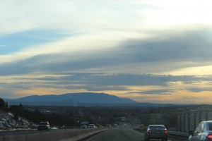
And as we neared Santa Fe we were treated to the beginnings of a gorgeous sunset.
Once we arrived back in Santa Fe proper we had enough time to fill Shiva back up to a half tank, drop our stuff off at the casita, and then return Shiva to her home near the Plaza. SB even got to drive the last little 0.7 mile voyage from the casita to Shiva’s house, haha.
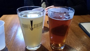
After the long day we decided to just chill. SB wasn’t really hungry yet (which was odd, since she’d been hungry more often than me that day 😛 ), so we decided to go get some beer. Prior to SB’s arrival I had found (but not tried) a place called the Draft Station which is located right on the Plaza, so we decided to try it out. The plan was to have a couple of beers, decide on food, and then go get food elsewhere.
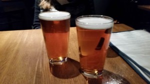
Left: Double White Ale – Marble Brewery, Right: Riverwalker – Bosque Brewing Co.
That plan seemed great at first, but unknown to us, a long day and (in my case) an empty stomach caught up to us. Before too long we were really feeling those beers and we got into epic conversations about the world, it’s problems, and how to fix them – typical bar stuff. Eventually we realized that it was getting late and that we really needed to eat, so after some debate, we decide to just get pizza from where we were at. See, Draft Station makes up one end of the upper floor of the Santa Fe Arcade, while Rooftop Pizzeria makes up the other end. As such, they seem to have teamed up for maximum profits and at Draft Station you can order from a limited (pizza only) version of Rooftop Pizzeria’s menu. As I’ve mentioned in the past, I’m not a big pizza person (unless I’m the one making it), but after a long day and two beers we decided to get some pizza – oh and more beer.
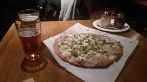
Left: Unknown, Right: Elevated IPA – La Cumbre Brewing Co.
At some point after our second round of beers arrived – how long, the world may never know – our pizza arrived!
Our pizza consisted of: Roast Chicken, green chiles, toasted pinon nuts (pine nuts), cojita & asadero (cheeses), and alfredo sauce, all on a blue corn crust. It was yummy. I know it was yummy because I ate leftovers for the next two days and my cognition had returned by then.
After dinner and beers we had a fun walk home and then Tristen and I crafted a fire, which ended up being incredibly large and hot (in part due to the huge pile of wood SB stacked right outside the door for us), but it was a nice way to end the long day.
The rest of the night was defined by nearly falling asleep on the couch, struggling not to be incinerated by the fire (I set the cleaning brush on fire at one point), and a little bit of packing for SB. Unsurprisingly, we hit the hay in a timely manner that night.
The next day SB sadly had to head back to Boston and I had to return to work, so we both got up and around relatively early. Fortunately my supervisor was actually out of the office, so I was able to delay coming in for an hour or so, which was nice because it was more time for me and Pig to spend with SB, Valentino, and Tristen. However, despite our nice little morning (which included a little mishap in which I briefly set the trash on fire and melted the bag with hot coals), before too long SB was headed off on a shuttle to Albuquerque to begin her process of flying home.
And from there, Pig and I made our way to work and settled in for a day of productivity. I only had four days of work left, and I still had a lot to get done.
Which brings us to the close of Part 2 of my New Mexico Mega post. As mentioned last time, Part 3 will cover the “Post-SB” period which encompasses my final days at work, my (crazy-ass) voyage home, and then I’ll do a short post with a couple of “Things I Learned” reflections (Big Blue Bear style). As for timing, Part 3 will probably (hopefully) surface a bit less than a week after this post since it won’t have 12 trillion pictures like the first two installations did (but will still have plenty, have no fear).
Until next time,
-Taco

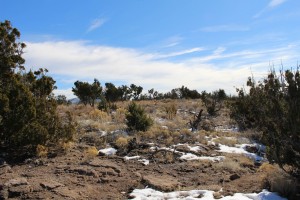
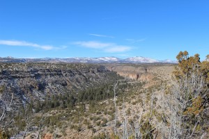
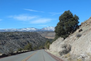
What amazing views! Sounds like you two had a fantastic time! And the pizza sounds nummilicous!
I am always sad how the scale and the boo-ti-fullness of things never translates well into photos. However, I think you would like it there, based on your CO relationship.
From the looks of things, I think I might. Though they have more winter than I would like, I would like to see it. I am hungry for more of the West. There are a couple of East Coast things I want to try to do, then it is time for that amazing sky, I think.
Yes, Winter is definitely a thing. Of course I was also in northern New Mexico, in the mountains. There’s a lot of state down south, less mountains though.
We’ve talked about this, but I was shocked at how much I loved New Mexico. I had previously thought that NM was just dessert, but this trip blew that thought out of the water.
It was amazing to have those experiences, and spending time outside with that big blue sky feels fantastic.
Agreed on all counts!